Forbes night lights from space
Night Light of Forbes (New South Wales) from space (Australia) Src. Average luminocity for 10x10km area is 7.4983% and for 50x50km: 0.3631%.
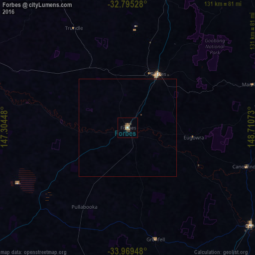
Analysis of Forbes night lights 2016
Square area 10x10 km:
 0.17%
0.17%90-99
0.52%80-89
0%70-79
1.22%60-69
4.37%50-59
0%40-49
0.35%30-39
3.85%20-29
0.7%10-19
0.7%0-9
88.11%Square area 50x50 km:
0.01%90-99
0.02%80-89
0%70-79
0.05%60-69
0.18%50-59
0%40-49
0.04%30-39
0.18%20-29
0.04%10-19
0.04%0-9
99.46%Clear (daylight) street map image can be seen on geolist.org.
Map coordinates:
32° 47' 43" South, 147° 18' 16.1" East
33° 23' 3.7" South, 148° 0' 27.4" East
33° 58' 10.1" South, 148° 42' 38.6" East
Some cities around Forbes sort by population:
• Dubbo
138.6 km =86.1 mi,  23°
23°
• Orange
102.1 km =63.4 mi,  83°
83°
• Bathurst
146.1 km =90.8 mi,  91°
91°
• Parkes
31.6 km =19.6 mi,  29°
29°
• Young
106.8 km =66.4 mi,  165°
165°
• Cowra
81.2 km =50.5 mi,  128°
128°
• Bathurst city centre
145.7 km =90.5 mi, 91°
• Cootamundra
139.7 km =86.8 mi,  179°
179°
2166368 (p: 8,481)
Sources (retrieved 2019-11-25):
» Earth at Night: Flat Maps 2012, 2016