Parkes night lights from space
Night Light of Parkes (New South Wales) from space (Australia) Src. Average luminocity for 10x10km area is 11.5861% and for 50x50km: 0.6003%.
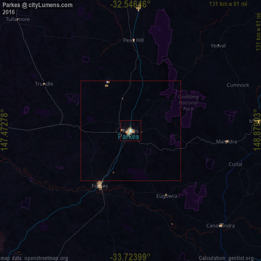
Analysis of Parkes night lights 2016
Square area 10x10 km:
 0.73%
0.73%90-99
1.47%80-89
0%70-79
2.38%60-69
4.76%50-59
0.92%40-49
1.1%30-39
2.56%20-29
0.55%10-19
2.01%0-9
83.52%Square area 50x50 km:
0.05%90-99
0.06%80-89
0%70-79
0.09%60-69
0.24%50-59
0.06%40-49
0.08%30-39
0.13%20-29
0.04%10-19
0.11%0-9
99.14%Clear (daylight) street map image can be seen on geolist.org.
Map coordinates:
32° 32' 47.3" South, 147° 28' 22" East
33° 8' 13.9" South, 148° 10' 33.2" East
33° 43' 26.4" South, 148° 52' 44.5" East
Some cities around Parkes sort by population:
• Dubbo
107.2 km =66.6 mi,  21°
21°
• Orange
87.5 km =54.4 mi,  100°
100°
• Bathurst
134.2 km =83.4 mi, 103°
• Young
131.3 km =81.6 mi,  174°
174°
• Cowra
91.4 km =56.8 mi,  148°
148°
• Kelso
136 km =84.5 mi, 103°
• Forbes
31.6 km =19.6 mi,  209°
209°
• Bathurst city centre
133.9 km =83.2 mi, 103°
2153778 (p: 11,274)
Sources (retrieved 2019-11-25):
» Earth at Night: Flat Maps 2012, 2016