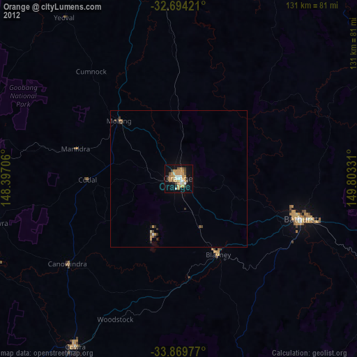
Orange night lights from space
Night Light of Orange (New South Wales) from space (Australia) Src. Average luminocity for 10x10km area is 36.2185% and for 50x50km: 1.9758%.
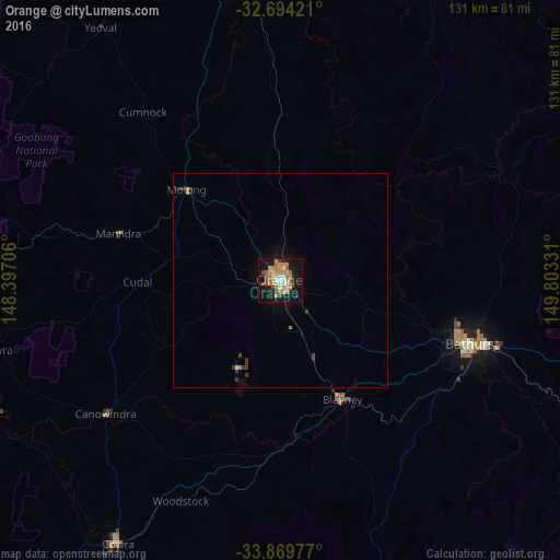
Analysis of Orange night lights 2016
Square area 10x10 km:
 2.45%
2.45%90-99
4.72%80-89
3.85%70-79
9.79%60-69
12.94%50-59
1.92%40-49
3.32%30-39
2.8%20-29
2.62%10-19
37.76%0-9
17.83%Square area 50x50 km:
0.11%90-99
0.21%80-89
0.16%70-79
0.48%60-69
0.56%50-59
0.08%40-49
0.16%30-39
0.48%20-29
0.15%10-19
1.84%0-9
95.77%Clear (daylight) street map image can be seen on geolist.org.
Map coordinates:
32° 41' 39.2" South, 148° 23' 49.4" East
33° 17' 2.3" South, 149° 6' 0.6" East
33° 52' 11.2" South, 149° 48' 11.9" East
Some cities around Orange sort by population:
• Bathurst
47 km =29.2 mi,  108°
108°
• Parkes
87.5 km =54.4 mi,  280°
280°
• Mudgee
89.1 km =55.4 mi,  30°
30°
• Cowra
71.8 km =44.6 mi,  211°
211°
• Kelso
48.7 km =30.3 mi, 107°
• Forbes
102.1 km =63.4 mi,  263°
263°
• Bathurst city centre
46.7 km =29 mi, 108°
• Lithgow
99.9 km =62.1 mi,  102°
102°
2154219 (p: 38,408)
Sources (retrieved 2019-11-25):
» Earth at Night: Flat Maps 2012, 2016