Cootamundra night lights from space
Night Light of Cootamundra (New South Wales) from space (Australia) Src. Average luminocity for 10x10km area is 4.6171% and for 50x50km: 0.1855%.
Analysis of Cootamundra night lights 2016
Square area 10x10 km:
 0.35%
0.35%90-99
0.35%80-89
0%70-79
0.87%60-69
1.92%50-59
1.57%40-49
0.52%30-39
0.7%20-29
0%10-19
0.17%0-9
93.53%Square area 50x50 km:
0.01%90-99
0.01%80-89
0%70-79
0.04%60-69
0.08%50-59
0.06%40-49
0.02%30-39
0.03%20-29
0%10-19
0.01%0-9
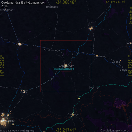
99.74%Clear (daylight) street map image can be seen on geolist.org.
Map coordinates:
34° 3' 37.7" South, 147° 19' 30.9" East
34° 38' 27.4" South, 148° 1' 42.2" East
35° 13' 2.7" South, 148° 43' 53.4" East
Some cities around Cootamundra sort by population:
• Young
44.2 km =27.5 mi,  34°
34°
• Cowra
108.6 km =67.5 mi, 34°
• Wagga Wagga
81.8 km =50.8 mi,  228°
228°
• Kooringal
81.4 km =50.6 mi, 226°
• Yass
83.5 km =51.9 mi,  105°
105°
• Tumut
76 km =47.2 mi,  166°
166°
• Lake Albert
82.9 km =51.5 mi, 225°
• Glenfield Park
84.1 km =52.3 mi, 228°
2170430 (p: 6,618)
Sources (retrieved 2019-11-25):
» Earth at Night: Flat Maps 2012, 2016