Bathurst night lights from space
Night Light of Bathurst (New South Wales) from space (Australia) Src. Average luminocity for 10x10km area is 34.0262% and for 50x50km: 1.6855%.
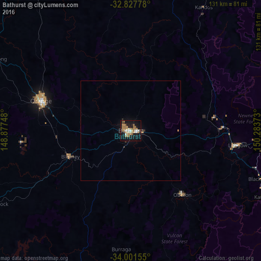
Analysis of Bathurst night lights 2016
Square area 10x10 km:
 2.62%
2.62%90-99
5.59%80-89
2.8%70-79
7.17%60-69
11.54%50-59
4.2%40-49
1.92%30-39
1.22%20-29
3.67%10-19
40.73%0-9
18.53%Square area 50x50 km:
0.11%90-99
0.23%80-89
0.11%70-79
0.33%60-69
0.51%50-59
0.17%40-49
0.11%30-39
0.14%20-29
0.17%10-19
1.74%0-9
96.37%Clear (daylight) street map image can be seen on geolist.org.
Map coordinates:
32° 49' 40" South, 148° 52' 38.9" East
33° 24' 59.9" South, 149° 34' 50.2" East
34° 0' 5.6" South, 150° 17' 1.4" East
Some cities around Bathurst sort by population:
• Orange
47 km =29.2 mi,  288°
288°
• Mudgee
91.4 km =56.8 mi,  0°
0°
• Cowra
94.2 km =58.5 mi,  240°
240°
• Kelso
1.8 km =1.1 mi,  90°
90°
• Springwood
95.2 km =59.2 mi,  109°
109°
• Katoomba
75.3 km =46.8 mi,  116°
116°
• Wentworth Falls
80.5 km =50 mi, 113°
• Lithgow
53.3 km =33.1 mi,  98°
98°
2176632 (p: 33,110)
Sources (retrieved 2019-11-25):
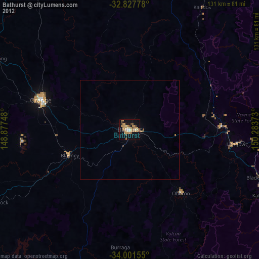
» Earth at Night: Flat Maps 2012, 2016