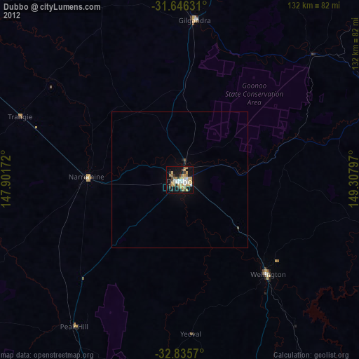
Dubbo night lights from space
Night Light of Dubbo (New South Wales) from space (Australia) Src. Average luminocity for 10x10km area is 42.6026% and for 50x50km: 2.0359%.
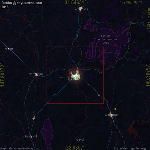
Analysis of Dubbo night lights 2016
Square area 10x10 km:
 4.76%
4.76%90-99
8.61%80-89
4.58%70-79
11.72%60-69
8.42%50-59
2.38%40-49
3.48%30-39
5.86%20-29
5.31%10-19
32.6%0-9
12.27%Square area 50x50 km:
0.19%90-99
0.34%80-89
0.18%70-79
0.47%60-69
0.34%50-59
0.09%40-49
0.14%30-39
0.29%20-29
0.24%10-19
2.11%0-9
95.6%Clear (daylight) street map image can be seen on geolist.org.
Map coordinates:
31° 38' 46.7" South, 147° 54' 6.2" East
32° 14' 34.6" South, 148° 36' 17.4" East
32° 50' 8.5" South, 149° 18' 28.7" East
Some cities around Dubbo sort by population:
• Orange
124.7 km =77.5 mi,  158°
158°
• Bathurst
159.2 km =98.9 mi,  145°
145°
• Parkes
107.2 km =66.6 mi,  201°
201°
• Mudgee
100.1 km =62.2 mi,  112°
112°
• Cowra
177.3 km =110.2 mi,  177°
177°
• Kelso
160.2 km =99.5 mi,  144°
144°
• Forbes
138.6 km =86.1 mi, 203°
• Bathurst city centre
159.1 km =98.9 mi, 145°
2168305 (p: 39,863)
Sources (retrieved 2019-11-25):
» Earth at Night: Flat Maps 2012, 2016