Young night lights from space
Night Light of Young (New South Wales) from space (Australia) Src. Average luminocity for 10x10km area is 5.3278% and for 50x50km: 0.2069%.
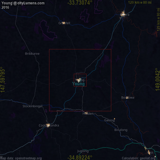
Analysis of Young night lights 2016
Square area 10x10 km:
 0.18%
0.18%90-99
0.55%80-89
0%70-79
0%60-69
3.3%50-59
1.1%40-49
1.1%30-39
1.83%20-29
0%10-19
0%0-9
91.94%Square area 50x50 km:
0.01%90-99
0.02%80-89
0%70-79
0%60-69
0.13%50-59
0.04%40-49
0.04%30-39
0.07%20-29
0%10-19
0%0-9
99.69%Clear (daylight) street map image can be seen on geolist.org.
Map coordinates:
33° 43' 50.7" South, 147° 35' 52.6" East
34° 18' 48.6" South, 148° 18' 3.9" East
34° 53' 32.1" South, 149° 0' 15.1" East
Some cities around Young sort by population:
• Cowra
64.4 km =40 mi,  34°
34°
• Forbes
106.8 km =66.4 mi,  345°
345°
• Dunlop
117.9 km =73.3 mi,  146°
146°
• Macgregor
118.9 km =73.9 mi, 146°
• Cootamundra
44.2 km =27.5 mi,  214°
214°
• Yass
80.9 km =50.3 mi,  136°
136°
• Tumut
110.7 km =68.8 mi,  183°
183°
• Casey
119.4 km =74.2 mi, 142°
2142245 (p: 10,160)
Sources (retrieved 2019-11-25):
» Earth at Night: Flat Maps 2012, 2016