Cowra night lights from space
Night Light of Cowra (New South Wales) from space (Australia) Src. Average luminocity for 10x10km area is 8.5997% and for 50x50km: 0.3617%.
Analysis of Cowra night lights 2016
Square area 10x10 km:
 0.52%
0.52%90-99
0.87%80-89
0%70-79
2.1%60-69
2.62%50-59
0.87%40-49
0.7%30-39
3.5%20-29
1.92%10-19
0.17%0-9
86.71%Square area 50x50 km:
0.02%90-99
0.04%80-89
0%70-79
0.09%60-69
0.11%50-59
0.04%40-49
0.03%30-39
0.14%20-29
0.08%10-19
0.01%0-9
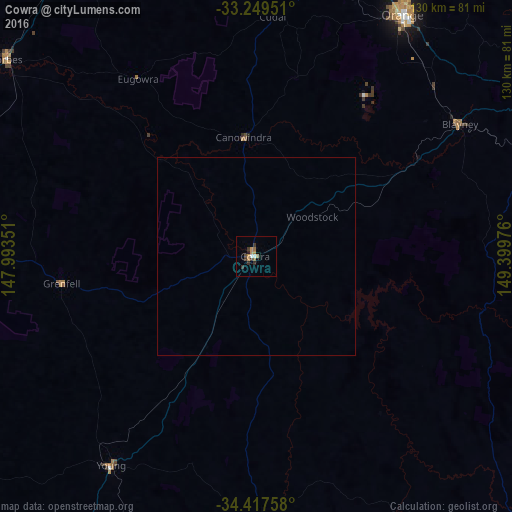
99.46%Clear (daylight) street map image can be seen on geolist.org.
Map coordinates:
33° 14' 58.2" South, 147° 59' 36.6" East
33° 50' 7.9" South, 148° 41' 47.9" East
34° 25' 3.3" South, 149° 23' 59.1" East
Some cities around Cowra sort by population:
• Orange
71.8 km =44.6 mi,  31°
31°
• Bathurst
94.2 km =58.5 mi,  60°
60°
• Parkes
91.4 km =56.8 mi,  328°
328°
• Young
64.4 km =40 mi,  214°
214°
• Kelso
95.7 km =59.5 mi, 60°
• Forbes
81.2 km =50.5 mi,  308°
308°
• Bathurst city centre
93.7 km =58.2 mi, 60°
• Cootamundra
108.6 km =67.5 mi, 214°
2170139 (p: 9,996)
Sources (retrieved 2019-11-25):
» Earth at Night: Flat Maps 2012, 2016