Five Dock night lights from space
Night Light of Five Dock (New South Wales) from space (Australia) Src. Average luminocity for 10x10km area is 90.7028% and for 50x50km: 51.2211%.
Analysis of Five Dock night lights 2016
Square area 10x10 km:
 33.04%
90-99
26.4%80-89
20.8%70-79
18.71%60-69
1.05%50-59
0%40-49
0%30-39
0%20-29
0%10-19
0%0-9
0%Square area 50x50 km:
12.12%90-99
13.2%80-89
6.99%70-79
8.23%60-69
9.22%50-59
4.49%40-49
2.84%30-39
3.98%20-29
5.74%10-19
9.94%0-9
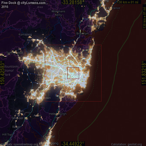
23.24%Clear (daylight) street map image can be seen on geolist.org.
Map coordinates:
33° 16' 53.7" South, 150° 25' 33.3" East
33° 52' 2.6" South, 151° 7' 44.6" East
34° 26' 57.2" South, 151° 49' 55.8" East
Some cities around Five Dock sort by population:
• Ashfield
2.4 km =1.5 mi,  194°
194°
• Burwood
3.2 km =2 mi,  236°
236°
• Leichhardt
3.1 km =1.9 mi,  125°
125°
• Drummoyne
2.9 km =1.8 mi,  55°
55°
• Croydon
2.1 km =1.3 mi,  212°
212°
• Summer Hill
2.8 km =1.7 mi,  162°
162°
• Haberfield
2.2 km =1.4 mi,  141°
141°
• Abbotsford
2.1 km =1.3 mi,  357°
357°
8348555 (p: 9,218)
Sources (retrieved 2019-11-25):
» Earth at Night: Flat Maps 2012, 2016