Maroubra night lights from space
Night Light of Maroubra (New South Wales) from space (Australia) Src. Average luminocity for 10x10km area is 70.8094% and for 50x50km: 34.2189%.
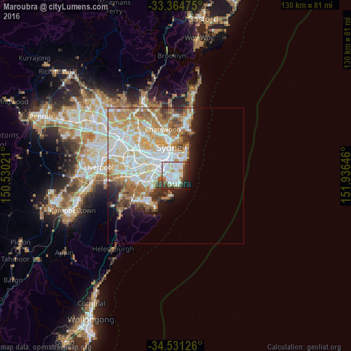
Analysis of Maroubra night lights 2016
Square area 10x10 km:
 28.5%
28.5%90-99
23.43%80-89
3.67%70-79
3.67%60-69
3.5%50-59
4.37%40-49
5.59%30-39
8.22%20-29
11.36%10-19
7.17%0-9
0.52%Square area 50x50 km:
8.75%90-99
9.17%80-89
4.45%70-79
5.56%60-69
5.83%50-59
2.77%40-49
1.97%30-39
2.46%20-29
2.83%10-19
4.8%0-9
51.42%Clear (daylight) street map image can be seen on geolist.org.
Map coordinates:
33° 21' 53.1" South, 150° 31' 48.8" East
33° 57' 0" South, 151° 13' 60" East
34° 31' 52.5" South, 151° 56' 11.3" East
Some cities around Maroubra sort by population:
• Kingsford
2.9 km =1.8 mi,  349°
349°
• Kensington
3.5 km =2.2 mi,  343°
343°
• Botany
3.5 km =2.2 mi,  277°
277°
• Matraville
1.5 km =0.9 mi,  184°
184°
• Eastlakes
2.8 km =1.7 mi,  315°
315°
• South Coogee
3 km =1.9 mi,  44°
44°
• Hillsdale
0.5 km =0.3 mi,  251°
251°
• Malabar
1.9 km =1.2 mi,  135°
135°
2158651 (p: 30,224)
Sources (retrieved 2019-11-25):
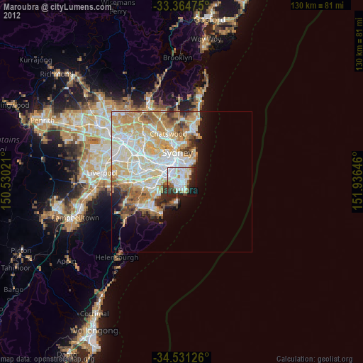
» Earth at Night: Flat Maps 2012, 2016