Cottesloe night lights from space
Night Light of Cottesloe (Western Australia) from space (Australia) Src. Average luminocity for 10x10km area is 51.2238% and for 50x50km: 39.4952%.
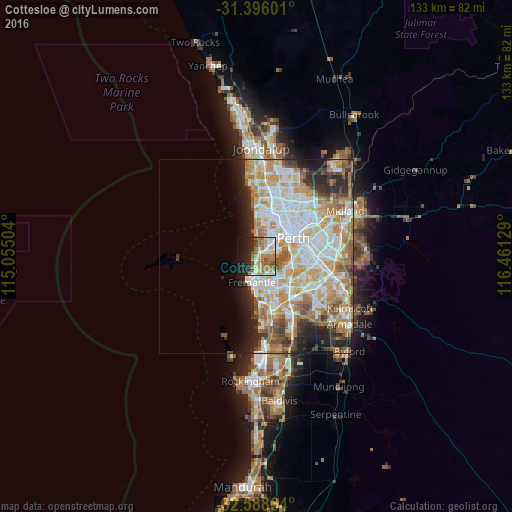
Analysis of Cottesloe night lights 2016
Square area 10x10 km:
 8.39%
8.39%90-99
9.09%80-89
6.82%70-79
5.42%60-69
19.41%50-59
5.07%40-49
5.24%30-39
0.7%20-29
14.86%10-19
16.26%0-9
8.74%Square area 50x50 km:
9.26%90-99
10.05%80-89
4.88%70-79
6.55%60-69
7.39%50-59
3.86%40-49
2.88%30-39
2.71%20-29
5.69%10-19
5.25%0-9
41.47%Clear (daylight) street map image can be seen on geolist.org.
Map coordinates:
31° 23' 45.6" South, 115° 3' 18.1" East
31° 59' 39.3" South, 115° 45' 29.4" East
32° 35' 19.1" South, 116° 27' 40.6" East
Some cities around Cottesloe sort by population:
• Nedlands
4.8 km =3 mi,  73°
73°
• Mosman Park
1.3 km =0.8 mi,  156°
156°
• Claremont
2.8 km =1.7 mi,  54°
54°
• East Fremantle
5 km =3.1 mi,  169°
169°
• Palmyra
6.2 km =3.9 mi, 155°
• Bicton
4.4 km =2.7 mi,  147°
147°
• Attadale
5.4 km =3.4 mi,  129°
129°
• Melville
6.5 km =4 mi,  141°
141°
2073603 (p: 7,136)
Sources (retrieved 2019-11-25):
» Earth at Night: Flat Maps 2012, 2016