East Fremantle night lights from space
Night Light of East Fremantle (Western Australia) from space (Australia) Src. Average luminocity for 10x10km area is 66.2727% and for 50x50km: 39.0911%.
Analysis of East Fremantle night lights 2016
Square area 10x10 km:
 16.78%
90-99
19.41%80-89
8.57%70-79
6.64%60-69
12.94%50-59
3.85%40-49
6.47%30-39
1.22%20-29
13.11%10-19
11.01%0-9
0%Square area 50x50 km:
9.3%90-99
9.89%80-89
4.72%70-79
5.98%60-69
7.36%50-59
4.11%40-49
3.05%30-39
2.68%20-29
5.62%10-19
5.41%0-9
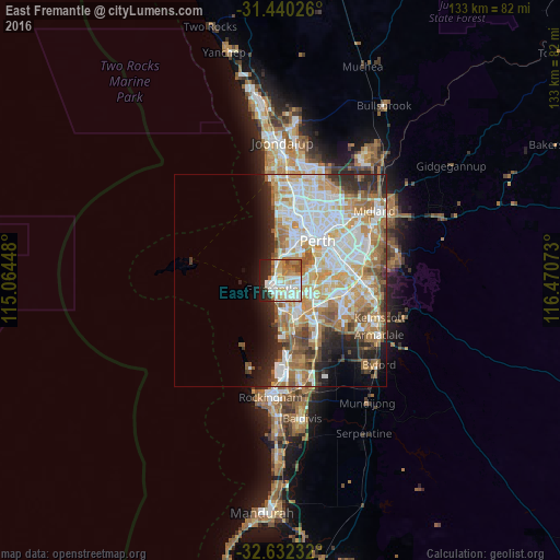
41.88%Clear (daylight) street map image can be seen on geolist.org.
Map coordinates:
31° 26' 24.9" South, 115° 3' 52.1" East
32° 2' 17.6" South, 115° 46' 3.4" East
32° 37' 56.4" South, 116° 28' 14.6" East
Some cities around East Fremantle sort by population:
• Hamilton Hill
5.3 km =3.3 mi,  167°
167°
• Fremantle
2.9 km =1.8 mi,  225°
225°
• Mosman Park
3.7 km =2.3 mi,  354°
354°
• Cottesloe
5 km =3.1 mi, 349°
• Palmyra
1.9 km =1.2 mi,  113°
113°
• Bicton
1.9 km =1.2 mi,  51°
51°
• Attadale
3.6 km =2.2 mi,  65°
65°
• Melville
3.2 km =2 mi,  94°
94°
2078894 (p: 7,209)
Sources (retrieved 2019-11-25):
» Earth at Night: Flat Maps 2012, 2016