Attadale night lights from space
Night Light of Attadale (Western Australia) from space (Australia) Src. Average luminocity for 10x10km area is 79.7168% and for 50x50km: 41.5237%.
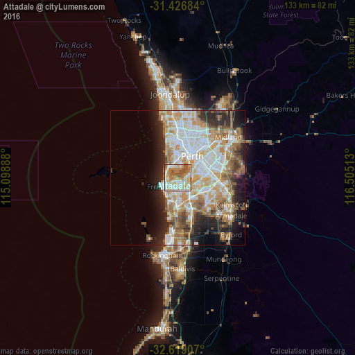
Analysis of Attadale night lights 2016
Square area 10x10 km:
 17.66%
90-99
20.98%80-89
15.03%70-79
13.99%60-69
17.48%50-59
8.57%40-49
6.12%30-39
0%20-29
0.17%10-19
0%0-9
0%Square area 50x50 km:
9.39%90-99
10.09%80-89
4.75%70-79
6.26%60-69
8.07%50-59
4.75%40-49
3.46%30-39
3.51%20-29
6.84%10-19
7.49%0-9
35.39%Clear (daylight) street map image can be seen on geolist.org.
Map coordinates:
31° 25' 36.6" South, 115° 5' 56" East
32° 1' 29.6" South, 115° 48' 7.2" East
32° 37' 8.7" South, 116° 30' 18.5" East
Some cities around Attadale sort by population:
• Mosman Park
4.2 km =2.6 mi,  301°
301°
• East Fremantle
3.6 km =2.2 mi,  245°
245°
• Palmyra
2.7 km =1.7 mi,  214°
214°
• Applecross
3.1 km =1.9 mi,  72°
72°
• Bicton
1.8 km =1.1 mi,  259°
259°
• Winthrop
4 km =2.5 mi,  139°
139°
• Melville
1.7 km =1.1 mi,  182°
182°
• Booragoon
3.4 km =2.1 mi,  118°
118°
2078908 (p: 6,196)
Sources (retrieved 2019-11-25):
» Earth at Night: Flat Maps 2012, 2016