Coorparoo night lights from space
Night Light of Coorparoo (Queensland) from space (Australia) Src. Average luminocity for 10x10km area is 92.623% and for 50x50km: 45.7476%.
Analysis of Coorparoo night lights 2016
Square area 10x10 km:
 33.33%
90-99
35.12%80-89
15.48%70-79
15.48%60-69
0.6%50-59
0%40-49
0%30-39
0%20-29
0%10-19
0%0-9
0%Square area 50x50 km:
8.83%90-99
9.56%80-89
5.65%70-79
6.54%60-69
12.43%50-59
4.3%40-49
4.7%30-39
4.69%20-29
7.66%10-19
10.85%0-9
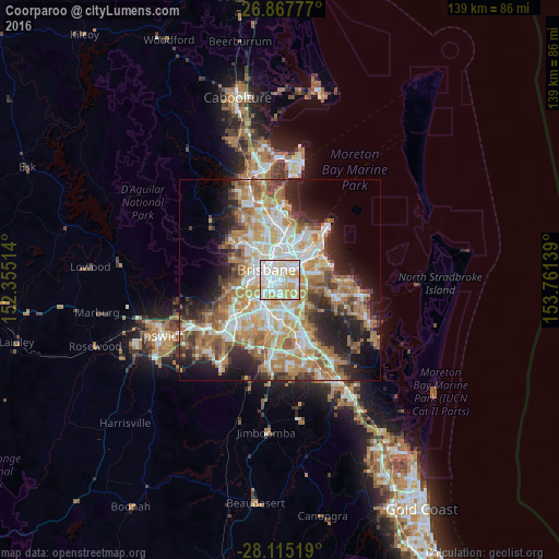
24.79%Clear (daylight) street map image can be seen on geolist.org.
Map coordinates:
26° 52' 4" South, 152° 21' 18.5" East
27° 29' 35.7" South, 153° 3' 29.7" East
28° 6' 54.7" South, 153° 45' 41" East
Some cities around Coorparoo sort by population:
• New Farm
3 km =1.9 mi,  340°
340°
• Camp Hill
1.8 km =1.1 mi,  91°
91°
• Greenslopes
1.9 km =1.2 mi,  207°
207°
• Kangaroo Point
2.8 km =1.7 mi,  310°
310°
• Holland Park
2.8 km =1.7 mi,  161°
161°
• Woolloongabba
2.2 km =1.4 mi,  283°
283°
• Norman Park
1.6 km =1 mi,  14°
14°
• East Brisbane
2 km =1.2 mi, 314°
2170435 (p: 15,965)
Sources (retrieved 2019-11-25):
» Earth at Night: Flat Maps 2012, 2016