Chatswood night lights from space
Night Light of Chatswood (New South Wales) from space (Australia) Src. Average luminocity for 10x10km area is 76.0297% and for 50x50km: 42.4692%.
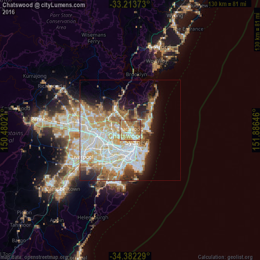
Analysis of Chatswood night lights 2016
Square area 10x10 km:
 11.89%
90-99
15.56%80-89
10.14%70-79
22.55%60-69
27.27%50-59
7.69%40-49
3.67%30-39
1.22%20-29
0%10-19
0%0-9
0%Square area 50x50 km:
10.43%90-99
11.32%80-89
5.51%70-79
6.57%60-69
7.59%50-59
3.58%40-49
2.14%30-39
3.2%20-29
4.66%10-19
7.07%0-9
37.93%Clear (daylight) street map image can be seen on geolist.org.
Map coordinates:
33° 12' 49.4" South, 150° 28' 48.8" East
33° 48' 0" South, 151° 10' 60" East
34° 22' 56.2" South, 151° 53' 11.3" East
Some cities around Chatswood sort by population:
• Lane Cove North
1.7 km =1.1 mi,  248°
248°
• Lane Cove
2.3 km =1.4 mi,  221°
221°
• Roseville
1.9 km =1.2 mi,  0°
0°
• Lindfield
2.4 km =1.5 mi,  320°
320°
• Artarmon
1.9 km =1.2 mi,  180°
180°
• Willoughby
1.6 km =1 mi,  110°
110°
• St Leonards
3 km =1.9 mi,  151°
151°
• Naremburn
2.5 km =1.6 mi,  139°
139°
2171707 (p: 25,140)
Sources (retrieved 2019-11-25):
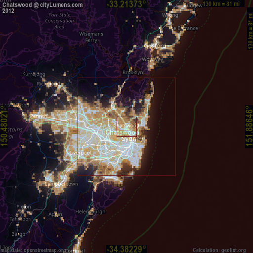
» Earth at Night: Flat Maps 2012, 2016