Banksia Beach night lights from space
Night Light of Banksia Beach (Queensland) from space (Australia) Src. Average luminocity for 10x10km area is 16.9524% and for 50x50km: 9.4195%.
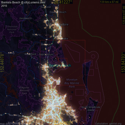
Analysis of Banksia Beach night lights 2016
Square area 10x10 km:
 0.2%
0.2%90-99
1.79%80-89
0.79%70-79
1.19%60-69
6.15%50-59
6.35%40-49
3.37%30-39
3.57%20-29
0.79%10-19
4.96%0-9
70.83%Square area 50x50 km:
0.88%90-99
1.1%80-89
0.76%70-79
0.43%60-69
3.81%50-59
1.09%40-49
1.32%30-39
2.08%20-29
2.29%10-19
6.14%0-9
80.12%Clear (daylight) street map image can be seen on geolist.org.
Map coordinates:
26° 24' 44.2" South, 152° 26' 26.8" East
27° 2' 25" South, 153° 8' 38" East
27° 39' 53.2" South, 153° 50' 49.3" East
Some cities around Banksia Beach sort by population:
• Caboolture
19.7 km =12.2 mi,  255°
255°
• Morayfield
20.7 km =12.9 mi,  248°
248°
• Deception Bay
20.6 km =12.8 mi,  214°
214°
• Kippa-Ring
21.5 km =13.4 mi,  196°
196°
• Scarborough
18.2 km =11.3 mi,  190°
190°
• Bongaree
5.1 km =3.2 mi,  162°
162°
• Burpengary East
18.4 km =11.4 mi,  230°
230°
• Caboolture South
20.2 km =12.6 mi, 252°
8348502 (p: 5,915)
Sources (retrieved 2019-11-25):
» Earth at Night: Flat Maps 2012, 2016