Scarborough night lights from space
Night Light of Scarborough (Queensland) from space (Australia) Src. Average luminocity for 10x10km area is 29.2519% and for 50x50km: 20.1831%.
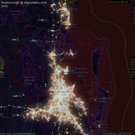
Analysis of Scarborough night lights 2016
Square area 10x10 km:
 5.11%
5.11%90-99
6.44%80-89
4.92%70-79
0.38%60-69
7.01%50-59
1.33%40-49
1.14%30-39
3.22%20-29
5.68%10-19
25.19%0-9
39.58%Square area 50x50 km:
3.23%90-99
3.53%80-89
2.41%70-79
1.76%60-69
6.17%50-59
1.98%40-49
2.36%30-39
2.99%20-29
4.11%10-19
8.5%0-9
62.95%Clear (daylight) street map image can be seen on geolist.org.
Map coordinates:
26° 34' 26.7" South, 152° 24' 22.6" East
27° 12' 4.2" South, 153° 6' 33.8" East
27° 49' 29.2" South, 153° 48' 45.1" East
Some cities around Scarborough sort by population:
• North Lakes
9.1 km =5.7 mi,  253°
253°
• Deception Bay
8.3 km =5.2 mi,  275°
275°
• Kippa-Ring
3.8 km =2.4 mi,  223°
223°
• Mango Hill
9.7 km =6 mi,  240°
240°
• Clontarf
6.6 km =4.1 mi,  207°
207°
• Margate
5.3 km =3.3 mi,  192°
192°
• Rothwell
6.4 km =4 mi,  256°
256°
• Griffin
10.4 km =6.5 mi, 221°
2207330 (p: 8,605)
Sources (retrieved 2019-11-25):
» Earth at Night: Flat Maps 2012, 2016