Balga night lights from space
Night Light of Balga (Western Australia) from space (Australia) Src. Average luminocity for 10x10km area is 91.5531% and for 50x50km: 37.7369%.
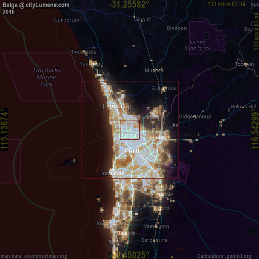
Analysis of Balga night lights 2016
Square area 10x10 km:
 32.97%
90-99
36.08%80-89
12.64%70-79
14.1%60-69
2.56%50-59
0.92%40-49
0%30-39
0.73%20-29
0%10-19
0%0-9
0%Square area 50x50 km:
8.83%90-99
9.6%80-89
4.36%70-79
5.6%60-69
6.47%50-59
3.7%40-49
2.47%30-39
3.25%20-29
5.95%10-19
8.67%0-9
41.09%Clear (daylight) street map image can be seen on geolist.org.
Map coordinates:
31° 15' 21" South, 115° 8' 12.3" East
31° 51' 17.9" South, 115° 50' 23.5" East
32° 27' 0.9" South, 116° 32' 34.8" East
Some cities around Balga sort by population:
• Nollamara
2.8 km =1.7 mi,  169°
169°
• Marangaroo
3.1 km =1.9 mi,  357°
357°
• Balcatta
2.5 km =1.6 mi,  205°
205°
• Stirling
4.2 km =2.6 mi,  221°
221°
• Girrawheen
1.6 km =1 mi, 359°
• Mirrabooka
2.5 km =1.6 mi,  101°
101°
• Alexander Heights
3.9 km =2.4 mi,  37°
37°
• Westminster
1.4 km =0.9 mi,  182°
182°
8348286 (p: 12,440)
Sources (retrieved 2019-11-25):
» Earth at Night: Flat Maps 2012, 2016