Girrawheen night lights from space
Night Light of Girrawheen (Western Australia) from space (Australia) Src. Average luminocity for 10x10km area is 89.9249% and for 50x50km: 36.5511%.
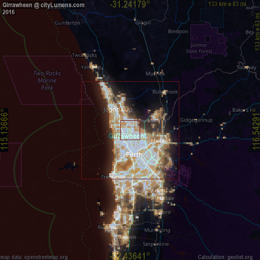
Analysis of Girrawheen night lights 2016
Square area 10x10 km:
 30.04%
90-99
34.25%80-89
12.27%70-79
16.85%60-69
3.11%50-59
2.75%40-49
0%30-39
0.73%20-29
0%10-19
0%0-9
0%Square area 50x50 km:
8.53%90-99
9.19%80-89
4.11%70-79
5.29%60-69
6.41%50-59
3.69%40-49
2.48%30-39
3.26%20-29
5.83%10-19
8.82%0-9
42.38%Clear (daylight) street map image can be seen on geolist.org.
Map coordinates:
31° 14' 30.4" South, 115° 8' 12" East
31° 50' 27.7" South, 115° 50' 23.2" East
32° 26' 11.1" South, 116° 32' 34.5" East
Some cities around Girrawheen sort by population:
• Balga
1.6 km =1 mi,  179°
179°
• Marangaroo
1.6 km =1 mi,  355°
355°
• Greenwood
3.8 km =2.4 mi,  293°
293°
• Mirrabooka
3.2 km =2 mi,  130°
130°
• Alexander Heights
2.8 km =1.7 mi,  57°
57°
• Darch
3.2 km =2 mi,  10°
10°
• Westminster
2.9 km =1.8 mi, 181°
• Madeley
3.5 km =2.2 mi,  341°
341°
8349041 (p: 8,672)
Sources (retrieved 2019-11-25):
» Earth at Night: Flat Maps 2012, 2016