Marangaroo night lights from space
Night Light of Marangaroo (Western Australia) from space (Australia) Src. Average luminocity for 10x10km area is 87.1923% and for 50x50km: 35.3035%.
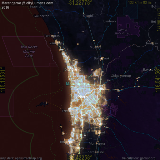
Analysis of Marangaroo night lights 2016
Square area 10x10 km:
 26.92%
90-99
31.14%80-89
11.72%70-79
17.95%60-69
6.41%50-59
2.93%40-49
1.47%30-39
0.55%20-29
0.92%10-19
0%0-9
0%Square area 50x50 km:
8.21%90-99
8.72%80-89
3.77%70-79
5.07%60-69
6.39%50-59
3.69%40-49
2.46%30-39
3.28%20-29
5.76%10-19
8.87%0-9
43.76%Clear (daylight) street map image can be seen on geolist.org.
Map coordinates:
31° 13' 40" South, 115° 8' 7.1" East
31° 49' 37.6" South, 115° 50' 18.3" East
32° 25' 21.3" South, 116° 32' 29.6" East
Some cities around Marangaroo sort by population:
• Kingsley
4 km =2.5 mi,  297°
297°
• Balga
3.1 km =1.9 mi,  177°
177°
• Landsdale
3.4 km =2.1 mi,  50°
50°
• Greenwood
3.4 km =2.1 mi,  269°
269°
• Girrawheen
1.6 km =1 mi, 175°
• Alexander Heights
2.5 km =1.6 mi,  91°
91°
• Darch
1.8 km =1.1 mi,  23°
23°
• Madeley
2 km =1.2 mi,  331°
331°
11073472 (p: 10,476)
Sources (retrieved 2019-11-25):
» Earth at Night: Flat Maps 2012, 2016