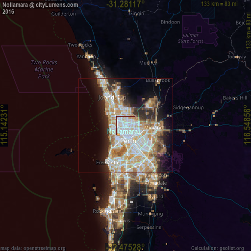
Nollamara night lights from space
Night Light of Nollamara (Western Australia) from space (Australia) Src. Average luminocity for 10x10km area is 95.674% and for 50x50km: 39.6159%.
Analysis of Nollamara night lights 2016
Square area 10x10 km:
 41.39%
90-99
43.59%80-89
8.06%70-79
6.41%60-69
0.55%50-59
0%40-49
0%30-39
0%20-29
0%10-19
0%0-9
0%Square area 50x50 km:
9.13%90-99
10.03%80-89
4.61%70-79
6.25%60-69
6.95%50-59
3.95%40-49
2.51%30-39
3.29%20-29
6.13%10-19
8.5%0-9
38.65%Clear (daylight) street map image can be seen on geolist.org.
Map coordinates:
31° 16' 52.2" South, 115° 8' 32.3" East
31° 52' 48.6" South, 115° 50' 43.5" East
32° 28' 31" South, 116° 32' 54.8" East
Some cities around Nollamara sort by population:
• Dianella
2.7 km =1.7 mi,  109°
109°
• Balga
2.8 km =1.7 mi,  349°
349°
• Yokine
2.4 km =1.5 mi,  162°
162°
• Balcatta
1.7 km =1.1 mi,  289°
289°
• Stirling
3.4 km =2.1 mi,  263°
263°
• Mirrabooka
3 km =1.9 mi,  40°
40°
• Tuart Hill
2.2 km =1.4 mi,  206°
206°
• Westminster
1.5 km =0.9 mi,  337°
337°
8348619 (p: 11,367)
Sources (retrieved 2019-11-25):
» Earth at Night: Flat Maps 2012, 2016