Balcatta night lights from space
Night Light of Balcatta (Western Australia) from space (Australia) Src. Average luminocity for 10x10km area is 95.2088% and for 50x50km: 39.2638%.
Analysis of Balcatta night lights 2016
Square area 10x10 km:
 40.48%
90-99
42.12%80-89
9.52%70-79
6.78%60-69
1.1%50-59
0%40-49
0%30-39
0%20-29
0%10-19
0%0-9
0%Square area 50x50 km:
9.09%90-99
9.98%80-89
4.59%70-79
6.18%60-69
6.86%50-59
3.87%40-49
2.47%30-39
3.29%20-29
6.05%10-19
8.49%0-9
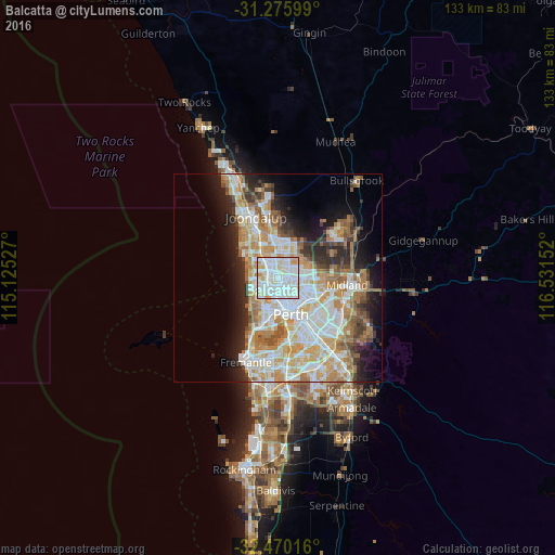
39.14%Clear (daylight) street map image can be seen on geolist.org.
Map coordinates:
31° 16' 33.6" South, 115° 7' 31" East
31° 52' 30" South, 115° 49' 42.2" East
32° 28' 12.6" South, 116° 31' 53.5" East
Some cities around Balcatta sort by population:
• Balga
2.5 km =1.6 mi,  25°
25°
• Nollamara
1.7 km =1.1 mi,  109°
109°
• Yokine
3.7 km =2.3 mi,  141°
141°
• Stirling
2 km =1.2 mi,  241°
241°
• Girrawheen
3.9 km =2.4 mi,  15°
15°
• Innaloo
3.7 km =2.3 mi, 237°
• Tuart Hill
2.6 km =1.6 mi,  166°
166°
• Westminster
1.3 km =0.8 mi,  50°
50°
8299269 (p: 10,192)
Sources (retrieved 2019-11-25):
» Earth at Night: Flat Maps 2012, 2016