Ascot night lights from space
Night Light of Ascot (Queensland) from space (Australia) Src. Average luminocity for 10x10km area is 95.9034% and for 50x50km: 43.1267%.
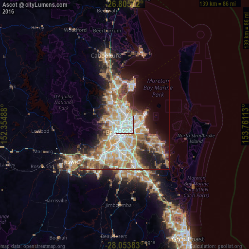
Analysis of Ascot night lights 2016
Square area 10x10 km:
 40.34%
90-99
40.34%80-89
17.42%70-79
1.7%60-69
0.19%50-59
0%40-49
0%30-39
0%20-29
0%10-19
0%0-9
0%Square area 50x50 km:
8.62%90-99
9.43%80-89
5.56%70-79
6%60-69
11.15%50-59
4.06%40-49
4.33%30-39
4.28%20-29
6.4%10-19
9.41%0-9
30.76%Clear (daylight) street map image can be seen on geolist.org.
Map coordinates:
26° 48' 20.6" South, 152° 21' 17.6" East
27° 25' 53.5" South, 153° 3' 28.8" East
28° 3' 13.8" South, 153° 45' 40.1" East
Some cities around Ascot sort by population:
• Nundah
3.2 km =2 mi,  6°
6°
• Clayfield
1.4 km =0.9 mi,  0°
0°
• Morningside
3.7 km =2.3 mi,  153°
153°
• Fortitude Valley
3.8 km =2.4 mi,  222°
222°
• Hamilton
1 km =0.6 mi, 149°
• Windsor
2.9 km =1.8 mi,  259°
259°
• Bulimba
2 km =1.2 mi,  180°
180°
• Teneriffe
2.9 km =1.8 mi,  201°
201°
9883890 (p: 5,773)
Sources (retrieved 2019-11-25):
» Earth at Night: Flat Maps 2012, 2016