Altach night lights from space
Night Light of Altach (Vorarlberg) from space (Austria) Src. Average luminocity for 10x10km area is 23.7396% and for 50x50km: 8.8149%.
Analysis of Altach night lights 2016
Square area 10x10 km:
 0.3%
0.3%90-99
1.49%80-89
1.19%70-79
2.23%60-69
7.74%50-59
4.32%40-49
5.21%30-39
4.61%20-29
4.02%10-19
40.18%0-9
28.72%Square area 50x50 km:
0.48%90-99
1.08%80-89
0.75%70-79
1.07%60-69
1.43%50-59
1.54%40-49
1.71%30-39
1.25%20-29
2.18%10-19
9.11%0-9
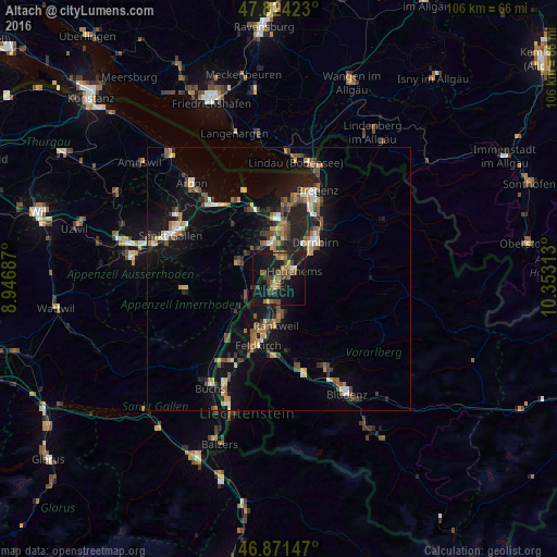
79.39%Clear (daylight) street map image can be seen on geolist.org.
Map coordinates:
47° 49' 27.2" North, 8° 56' 48.7" East
47° 21' 0" North, 9° 39' 0" East
46° 52' 17.3" North, 10° 21' 11.3" East
Some cities around Altach sort by population:
• Lustenau
8.5 km =5.3 mi,  4°
4°
• Hohenems
3.1 km =1.9 mi,  53°
53°
• Rankweil
8.8 km =5.5 mi,  183°
183°
• Götzis
2.3 km =1.4 mi,  214°
214°
• Altstätten, CH
8.3 km =5.2 mi,  291°
291°
• Oberriet, CH
7 km =4.3 mi,  242°
242°
• Au, CH
9.1 km =5.7 mi,  352°
352°
• Diepoldsau, CH
4 km =2.5 mi,  5°
5°
2782728 (p: 6,624)
Sources (retrieved 2019-11-25):
» Earth at Night: Flat Maps 2012, 2016