Oberriet night lights from space
Night Light of Oberriet (Saint Gallen) from space (Switzerland) Src. Average luminocity for 10x10km area is 11.4851% and for 50x50km: 9.4173%.
Analysis of Oberriet night lights 2016
Square area 10x10 km:
 0%
0%90-99
0.3%80-89
0%70-79
0.6%60-69
2.53%50-59
2.38%40-49
2.08%30-39
4.91%20-29
4.17%10-19
20.09%0-9
62.95%Square area 50x50 km:
0.55%90-99
1.19%80-89
0.84%70-79
1.11%60-69
1.48%50-59
1.5%40-49
1.77%30-39
1.44%20-29
2.24%10-19
9.85%0-9
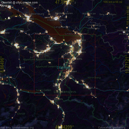
78.03%Clear (daylight) street map image can be seen on geolist.org.
Map coordinates:
47° 47' 43.3" North, 8° 51' 53.9" East
47° 19' 15.2" North, 9° 34' 5.1" East
46° 50' 31.5" North, 10° 16' 16.4" East
Some cities around Oberriet sort by population:
• Feldkirch, AT
10.1 km =6.3 mi,  166°
166°
• Hohenems, AT
10 km =6.2 mi,  59°
59°
• Rankweil, AT
7.9 km =4.9 mi,  134°
134°
• Götzis, AT
5.1 km =3.2 mi,  74°
74°
• Altstätten
6.5 km =4 mi,  346°
346°
• Altach, AT
7 km =4.3 mi, 62°
• Diepoldsau
9.8 km =6.1 mi,  42°
42°
• Ruggell, LI
9.8 km =6.1 mi,  199°
199°
2659357 (p: 7,675)
Sources (retrieved 2019-11-25):
» Earth at Night: Flat Maps 2012, 2016