Rankweil night lights from space
Night Light of Rankweil (Vorarlberg) from space (Austria) Src. Average luminocity for 10x10km area is 21.0149% and for 50x50km: 8.3507%.
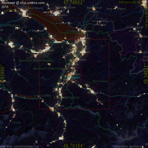
Analysis of Rankweil night lights 2016
Square area 10x10 km:
 0.6%
0.6%90-99
1.19%80-89
0.45%70-79
5.06%60-69
5.06%50-59
5.95%40-49
5.36%30-39
1.64%20-29
4.02%10-19
24.7%0-9
45.98%Square area 50x50 km:
0.44%90-99
1.02%80-89
0.66%70-79
1.02%60-69
1.35%50-59
1.38%40-49
1.73%30-39
1.43%20-29
2.24%10-19
8.21%0-9
80.53%Clear (daylight) street map image can be seen on geolist.org.
Map coordinates:
47° 44' 45.7" North, 8° 56' 23.9" East
47° 16' 15.9" North, 9° 38' 35.1" East
46° 47' 30.6" North, 10° 20' 46.4" East
Some cities around Rankweil sort by population:
• Feldkirch
5.3 km =3.3 mi,  217°
217°
• Götzis
6.9 km =4.3 mi,  353°
353°
• Oberriet, CH
7.9 km =4.9 mi,  314°
314°
• Altach
8.8 km =5.5 mi,  3°
3°
• Frastanz
6.1 km =3.8 mi,  189°
189°
• Mauren, LI
9.5 km =5.9 mi,  231°
231°
• Ruggell, LI
9.6 km =6 mi,  247°
247°
• Schellenberg, LI
8.5 km =5.3 mi,  238°
238°
2767974 (p: 11,855)
Sources (retrieved 2019-11-25):
» Earth at Night: Flat Maps 2012, 2016