Lustenau night lights from space
Night Light of Lustenau (Vorarlberg) from space (Austria) Src. Average luminocity for 10x10km area is 33.2855% and for 50x50km: 7.8761%.
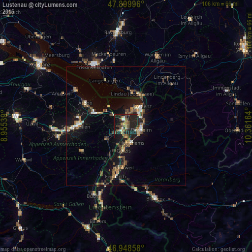
Analysis of Lustenau night lights 2016
Square area 10x10 km:
 0.85%
0.85%90-99
3.84%80-89
3.13%70-79
3.69%60-69
6.82%50-59
4.69%40-49
8.1%30-39
5.54%20-29
24.72%10-19
34.23%0-9
4.4%Square area 50x50 km:
0.41%90-99
0.87%80-89
0.65%70-79
0.93%60-69
1.26%50-59
1.4%40-49
1.6%30-39
1.14%20-29
2.08%10-19
8.58%0-9
81.07%Clear (daylight) street map image can be seen on geolist.org.
Map coordinates:
47° 53' 59.9" North, 8° 57' 19.4" East
47° 25' 35.1" North, 9° 39' 30.6" East
46° 56' 54.9" North, 10° 21' 41.9" East
Some cities around Lustenau sort by population:
• Dornbirn
6.4 km =4 mi,  102°
102°
• Hohenems
6.9 km =4.3 mi,  164°
164°
• Hard
6.6 km =4.1 mi,  16°
16°
• Lauterach
7.6 km =4.7 mi,  44°
44°
• Höchst
3.9 km =2.4 mi,  339°
339°
• Au, CH
1.9 km =1.2 mi,  285°
285°
• Diepoldsau, CH
4.5 km =2.8 mi,  182°
182°
• Sankt Margrethen, CH
3.3 km =2.1 mi,  331°
331°
2772173 (p: 22,821)
Sources (retrieved 2019-11-25):
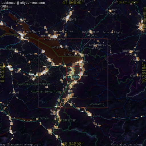
» Earth at Night: Flat Maps 2012, 2016