Victorica night lights from space
Night Light of Victorica (La Pampa) from space (Argentina) Src. Average luminocity for 10x10km area is 6.8252% and for 50x50km: 0.3607%.
Analysis of Victorica night lights 2016
Square area 10x10 km:
 1.05%
1.05%90-99
1.57%80-89
0.87%70-79
0%60-69
1.4%50-59
0.7%40-49
0.87%30-39
1.22%20-29
0.7%10-19
0%0-9
91.61%Square area 50x50 km:
0.04%90-99
0.06%80-89
0.03%70-79
0%60-69
0.08%50-59
0.06%40-49
0.07%30-39
0.1%20-29
0.05%10-19
0%0-9
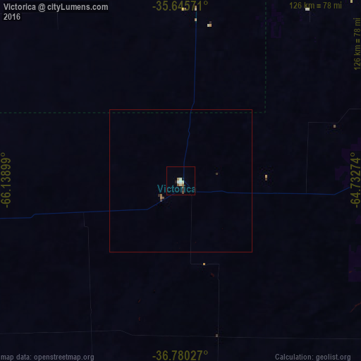
99.5%Clear (daylight) street map image can be seen on geolist.org.
Map coordinates:
35° 38' 44.6" South, 66° 8' 20.4" West
36° 12' 54.2" South, 65° 26' 9.1" West
36° 46' 49" South, 64° 43' 57.9" West
Some cities around Victorica sort by population:
• Santa Rosa
112.4 km =69.8 mi,  113°
113°
• General Pico
163.4 km =101.5 mi,  67°
67°
• General Acha
148.9 km =92.5 mi,  150°
150°
• Eduardo Castex
107.9 km =67 mi, 71°
• Huinca Renancó
180.5 km =112.2 mi,  32°
32°
• Realicó
169.6 km =105.4 mi,  39°
39°
• Intendente Alvear
199 km =123.7 mi,  56°
56°
• Villa Huidobro
171.3 km =106.4 mi, 26°
3832923 (p: 6,565)
Sources (retrieved 2019-11-25):
» Earth at Night: Flat Maps 2012, 2016