Intendente Alvear night lights from space
Night Light of Intendente Alvear (La Pampa) from space (Argentina) Src. Average luminocity for 10x10km area is 7.472% and for 50x50km: 0.5121%.
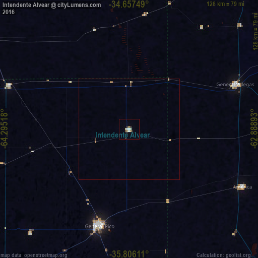
Analysis of Intendente Alvear night lights 2016
Square area 10x10 km:
 0.87%
0.87%90-99
1.92%80-89
0.7%70-79
1.4%60-69
0.35%50-59
0.7%40-49
0.35%30-39
2.1%20-29
1.4%10-19
0%0-9
90.21%Square area 50x50 km:
0.04%90-99
0.09%80-89
0.06%70-79
0.11%60-69
0.06%50-59
0.1%40-49
0.1%30-39
0.14%20-29
0.06%10-19
0%0-9
99.26%Clear (daylight) street map image can be seen on geolist.org.
Map coordinates:
34° 39' 27" South, 64° 17' 42.6" West
35° 14' 1.8" South, 63° 35' 31.4" West
35° 48' 22" South, 62° 53' 20.1" West
Some cities around Intendente Alvear sort by population:
• General Pico
49.3 km =30.6 mi,  197°
197°
• Laboulaye
124.5 km =77.4 mi,  8°
8°
• Rufino
134.1 km =83.3 mi,  36°
36°
• General Villegas
57.2 km =35.5 mi,  67°
67°
• Eduardo Castex
98.9 km =61.5 mi,  219°
219°
• Huinca Renancó
83.7 km =52 mi,  301°
301°
• Realicó
63.3 km =39.3 mi,  290°
290°
• Villa Huidobro
100.7 km =62.6 mi, 295°
3853745 (p: 6,990)
Sources (retrieved 2019-11-25):
» Earth at Night: Flat Maps 2012, 2016