Villa Huidobro night lights from space
Night Light of Villa Huidobro (Cordoba) from space (Argentina) Src. Average luminocity for 10x10km area is 4.6154% and for 50x50km: 0.65%.
Analysis of Villa Huidobro night lights 2016
Square area 10x10 km:
 0.55%
0.55%90-99
0.92%80-89
1.47%70-79
0%60-69
0.73%50-59
0%40-49
0%30-39
2.2%20-29
0%10-19
0%0-9
94.14%Square area 50x50 km:
0.07%90-99
0.07%80-89
0.14%70-79
0.1%60-69
0.06%50-59
0.05%40-49
0.06%30-39
0.27%20-29
0%10-19
0.03%0-9
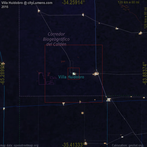
99.15%Clear (daylight) street map image can be seen on geolist.org.
Map coordinates:
34° 15' 32.9" South, 65° 17' 24" West
34° 50' 17.7" South, 64° 35' 12.7" West
35° 24' 48" South, 63° 53' 1.5" West
Some cities around Villa Huidobro sort by population:
• General Pico
118.2 km =73.4 mi,  140°
140°
• Eduardo Castex
122.6 km =76.2 mi,  167°
167°
• Justo Daract
121.8 km =75.7 mi,  333°
333°
• Vicuña Mackenna
103.7 km =64.4 mi,  9°
9°
• Huinca Renancó
19.3 km =12 mi,  90°
90°
• Realicó
38.2 km =23.7 mi,  125°
125°
• Intendente Alvear
100.7 km =62.6 mi,  115°
115°
• General Levalle
109.9 km =68.3 mi,  33°
33°
3832719 (p: 5,155)
Sources (retrieved 2019-11-25):
» Earth at Night: Flat Maps 2012, 2016