Realicó night lights from space
Night Light of Realicó (La Pampa) from space (Argentina) Src. Average luminocity for 10x10km area is 8.766% and for 50x50km: 0.9341%.
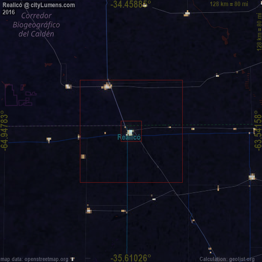
Analysis of Realicó night lights 2016
Square area 10x10 km:
 1.52%
1.52%90-99
1.18%80-89
3.03%70-79
0.34%60-69
0%50-59
1.35%40-49
0.67%30-39
0%20-29
1.35%10-19
0%0-9
90.57%Square area 50x50 km:
0.11%90-99
0.08%80-89
0.25%70-79
0.15%60-69
0.04%50-59
0.13%40-49
0.12%30-39
0.2%20-29
0.08%10-19
0.06%0-9
98.78%Clear (daylight) street map image can be seen on geolist.org.
Map coordinates:
34° 27' 31.9" South, 64° 56' 52.2" West
35° 2' 11.7" South, 64° 14' 40.9" West
35° 36' 36.9" South, 63° 32' 29.7" West
Some cities around Realicó sort by population:
• General Pico
81.9 km =50.9 mi,  147°
147°
• General Villegas
112.2 km =69.7 mi,  89°
89°
• Eduardo Castex
97.8 km =60.8 mi,  182°
182°
• Vicuña Mackenna
124.9 km =77.6 mi,  353°
353°
• Huinca Renancó
24.9 km =15.5 mi,  331°
331°
• Intendente Alvear
63.3 km =39.3 mi,  110°
110°
• General Levalle
117.4 km =72.9 mi,  14°
14°
• Villa Huidobro
38.2 km =23.7 mi,  305°
305°
3839282 (p: 7,151)
Sources (retrieved 2019-11-25):
» Earth at Night: Flat Maps 2012, 2016