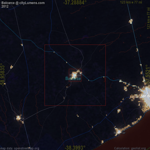
Balcarce night lights from space
Night Light of Balcarce (Buenos Aires) from space (Argentina) Src. Average luminocity for 10x10km area is 29.5272% and for 50x50km: 1.4794%.

Analysis of Balcarce night lights 2016
Square area 10x10 km:
 3.91%
3.91%90-99
4.25%80-89
2.72%70-79
2.89%60-69
3.91%50-59
6.29%40-49
5.27%30-39
4.42%20-29
5.1%10-19
30.44%0-9
30.78%Square area 50x50 km:
0.16%90-99
0.2%80-89
0.11%70-79
0.11%60-69
0.21%50-59
0.28%40-49
0.26%30-39
0.23%20-29
0.34%10-19
1.29%0-9
96.82%Clear (daylight) street map image can be seen on geolist.org.
Map coordinates:
37° 17' 19.8" South, 58° 57' 30.1" West
37° 50' 46.2" South, 58° 15' 18.8" West
38° 23' 57.5" South, 57° 33' 7.6" West
Some cities around Balcarce sort by population:
• Mar del Plata
63.7 km =39.6 mi,  105°
105°
• Tandil
96.9 km =60.2 mi,  307°
307°
• Olavarría
211.2 km =131.2 mi,  300°
300°
• Necochea
89.4 km =55.6 mi,  208°
208°
• Azul
185 km =115 mi, 309°
• Tres Arroyos
186.6 km =115.9 mi,  251°
251°
• Dolores
177.9 km =110.5 mi,  16°
16°
• Villa Gesell
130.2 km =80.9 mi,  60°
60°
3436177 (p: 38,823)
Sources (retrieved 2019-11-25):
» Earth at Night: Flat Maps 2012, 2016