Dolores night lights from space
Night Light of Dolores (Buenos Aires) from space (Argentina) Src. Average luminocity for 10x10km area is 20.4685% and for 50x50km: 1.0981%.
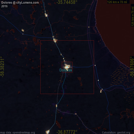
Analysis of Dolores night lights 2016
Square area 10x10 km:
 1.22%
1.22%90-99
1.57%80-89
4.2%70-79
3.85%60-69
4.2%50-59
4.55%40-49
0.87%30-39
1.92%20-29
0.17%10-19
13.64%0-9
63.81%Square area 50x50 km:
0.06%90-99
0.08%80-89
0.23%70-79
0.18%60-69
0.21%50-59
0.23%40-49
0.06%30-39
0.1%20-29
0.01%10-19
0.57%0-9
98.27%Clear (daylight) street map image can be seen on geolist.org.
Map coordinates:
35° 44' 40.5" South, 58° 22' 56.3" West
36° 18' 47.6" South, 57° 40' 45" West
36° 52' 39.8" South, 56° 58' 33.8" West
Some cities around Dolores sort by population:
• La Plata
156.7 km =97.4 mi,  350°
350°
• Quilmes
183.9 km =114.3 mi,  343°
343°
• Berazategui
178.8 km =111.1 mi, 344°
• Tandil
171.2 km =106.4 mi,  229°
229°
• Balcarce
177.9 km =110.5 mi,  196°
196°
• Adrogué
179.9 km =111.8 mi, 339°
• Villa Gesell
123 km =76.4 mi,  149°
149°
• San Clemente del Tuyú
85.7 km =53.3 mi,  93°
93°
3435038 (p: 25,190)
Sources (retrieved 2019-11-25):
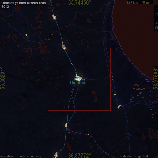
» Earth at Night: Flat Maps 2012, 2016