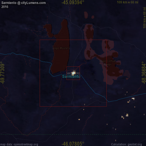
Sarmiento night lights from space
Night Light of Sarmiento (Chubut) from space (Argentina) Src. Average luminocity for 10x10km area is 7.3864% and for 50x50km: 0.3092%.
Analysis of Sarmiento night lights 2016
Square area 10x10 km:
 0.76%
0.76%90-99
1.67%80-89
0.3%70-79
0.61%60-69
2.12%50-59
0.61%40-49
0.45%30-39
1.97%20-29
1.21%10-19
0%0-9
90.3%Square area 50x50 km:
0.03%90-99
0.07%80-89
0.01%70-79
0.02%60-69
0.08%50-59
0.02%40-49
0.02%30-39
0.08%20-29
0.07%10-19
0%0-9
99.59%Clear (daylight) street map image can be seen on geolist.org.
Map coordinates:
45° 5' 38.2" South, 69° 46' 23.1" West
45° 35' 17.3" South, 69° 4' 11.9" West
46° 4' 41" South, 68° 22' 0.6" West
Some cities around Sarmiento sort by population:
• Comodoro Rivadavia
125.9 km =78.2 mi,  104°
104°
• Coyhaique, CL
233.2 km =144.9 mi,  270°
270°
• Caleta Olivia
152.1 km =94.5 mi,  128°
128°
• Puerto Aysén, CL
283 km =175.8 mi, 274°
• Pico Truncado
159.2 km =98.9 mi,  147°
147°
• Las Heras
106.5 km =66.2 mi,  174°
174°
• Trevelin
337.1 km =209.5 mi,  325°
325°
• Rada Tilly
123.4 km =76.7 mi,  107°
107°
3835710 (p: 8,292)
Sources (retrieved 2019-11-25):
» Earth at Night: Flat Maps 2012, 2016