Comodoro Rivadavia night lights from space
Night Light of Comodoro Rivadavia (Chubut) from space (Argentina) Src. Average luminocity for 10x10km area is 55.4286% and for 50x50km: 5.7695%.
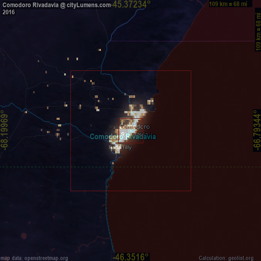

Analysis of Comodoro Rivadavia night lights 2016
Square area 10x10 km:
 16.37%
90-99
16.67%80-89
2.23%70-79
4.46%60-69
4.17%50-59
7.74%40-49
4.61%30-39
7.29%20-29
17.41%10-19
12.35%0-9
6.7%Square area 50x50 km:
0.99%90-99
1.37%80-89
0.3%70-79
0.59%60-69
0.62%50-59
0.87%40-49
0.61%30-39
0.82%20-29
1.71%10-19
4.02%0-9
88.1%Clear (daylight) street map image can be seen on geolist.org.
Map coordinates:
45° 22' 20.4" South, 68° 11' 58.9" West
45° 51' 50.9" South, 67° 29' 47.6" West
46° 21' 5.8" South, 66° 47' 36.4" West
Some cities around Comodoro Rivadavia sort by population:
• Trelew
338.6 km =210.4 mi,  30°
30°
• Caleta Olivia
64 km =39.8 mi,  182°
182°
• Pico Truncado
109.4 km =68 mi,  198°
198°
• Puerto Deseado
242.6 km =150.7 mi,  149°
149°
• Las Heras
134 km =83.3 mi,  235°
235°
• Sarmiento
125.9 km =78.2 mi,  284°
284°
• Rada Tilly
8.1 km =5 mi,  213°
213°
• Gaimán
327.3 km =203.4 mi, 28°
3860443 (p: 140,850)
Sources (retrieved 2019-11-25):
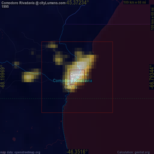
» NASA, Earths city lights 1995
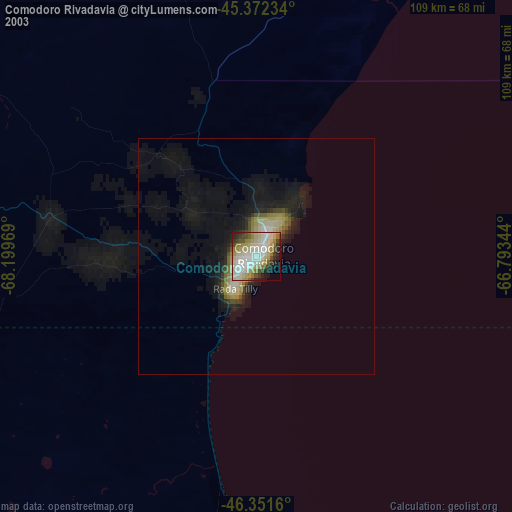
» NASA city lights 2003
» Earth at Night: Flat Maps 2012, 2016