Puerto Aysén night lights from space
Night Light of Puerto Aysén (Aysén) from space (Chile) Src. Average luminocity for 10x10km area is 7.6841% and for 50x50km: 0.3752%.
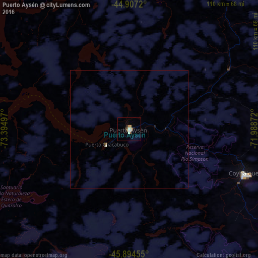
Analysis of Puerto Aysén night lights 2016
Square area 10x10 km:
 0.79%
0.79%90-99
1.75%80-89
1.27%70-79
0.32%60-69
0.95%50-59
1.9%40-49
0%30-39
1.9%20-29
0.63%10-19
0%0-9
90.48%Square area 50x50 km:
0.03%90-99
0.09%80-89
0.05%70-79
0.01%60-69
0.04%50-59
0.1%40-49
0.02%30-39
0.08%20-29
0.08%10-19
0.02%0-9
99.47%Clear (daylight) street map image can be seen on geolist.org.
Map coordinates:
44° 54' 25.9" South, 73° 23' 41.9" West
45° 24' 10.9" South, 72° 41' 30.6" West
45° 53' 40.4" South, 71° 59' 19.4" West
Some cities around Puerto Aysén sort by population:
• Coyhaique
52.4 km =32.6 mi,  111°
111°
• Castro
337.2 km =209.5 mi,  345°
345°
• Esquel, AR
297.9 km =185.1 mi,  21°
21°
• Quellón
264.5 km =164.4 mi,  343°
343°
• Chonchi
320.9 km =199.4 mi, 344°
• Las Heras, AR
316.6 km =196.7 mi, 113°
• Sarmiento, AR
283 km =175.8 mi,  94°
94°
• Trevelin, AR
275.6 km =171.2 mi, 20°
3874997 (p: 16,936)
Sources (retrieved 2019-11-25):
» Earth at Night: Flat Maps 2012, 2016