Coyhaique night lights from space
Night Light of Coyhaique (Aysén) from space (Chile) Src. Average luminocity for 10x10km area is 15.2879% and for 50x50km: 0.6439%.
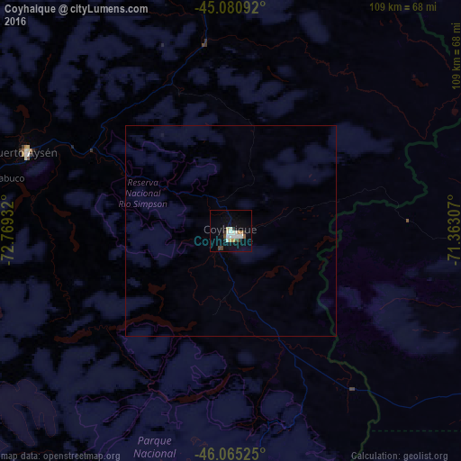
Analysis of Coyhaique night lights 2016
Square area 10x10 km:
 2.58%
2.58%90-99
4.7%80-89
0.61%70-79
1.82%60-69
0.61%50-59
0.61%40-49
2.58%30-39
1.06%20-29
1.36%10-19
5.15%0-9
78.94%Square area 50x50 km:
0.1%90-99
0.19%80-89
0.02%70-79
0.07%60-69
0.02%50-59
0.02%40-49
0.1%30-39
0.04%20-29
0.05%10-19
0.22%0-9
99.15%Clear (daylight) street map image can be seen on geolist.org.
Map coordinates:
45° 4' 51.3" South, 72° 46' 9.6" West
45° 34' 30.9" South, 72° 3' 58.3" West
46° 3' 54.9" South, 71° 21' 47.1" West
Some cities around Coyhaique sort by population:
• Esquel, AR
302.1 km =187.7 mi,  11°
11°
• Quellón
299.7 km =186.2 mi,  335°
335°
• Puerto Aysén
52.4 km =32.6 mi,  291°
291°
• Pico Truncado, AR
344.1 km =213.8 mi,  113°
113°
• Las Heras, AR
264.3 km =164.2 mi, 113°
• Sarmiento, AR
233.2 km =144.9 mi,  90°
90°
• Trevelin, AR
280.9 km =174.5 mi, 9°
• Rada Tilly, AR
352.2 km =218.8 mi,  96°
96°
3894426 (p: 45,787)
Sources (retrieved 2019-11-25):
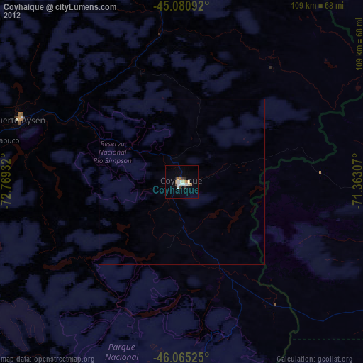
» Earth at Night: Flat Maps 2012, 2016