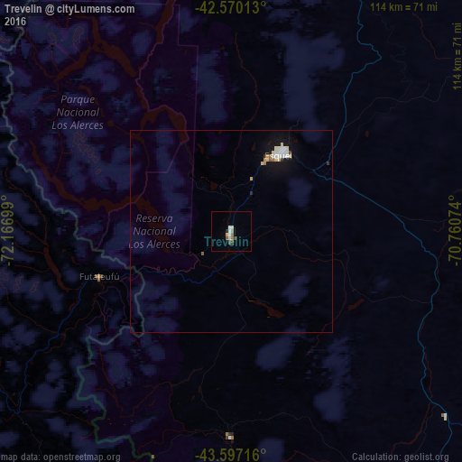
Trevelin night lights from space
Night Light of Trevelin (Chubut) from space (Argentina) Src. Average luminocity for 10x10km area is 7.2909% and for 50x50km: 1.3325%.
Analysis of Trevelin night lights 2016
Square area 10x10 km:
 1.67%
1.67%90-99
1.36%80-89
0.15%70-79
0.45%60-69
1.21%50-59
1.21%40-49
1.82%30-39
0%20-29
0.61%10-19
0%0-9
91.52%Square area 50x50 km:
0.26%90-99
0.25%80-89
0.18%70-79
0.12%60-69
0.13%50-59
0.1%40-49
0.1%30-39
0.04%20-29
0.08%10-19
1.04%0-9
97.71%Clear (daylight) street map image can be seen on geolist.org.
Map coordinates:
42° 34' 12.5" South, 72° 10' 1.2" West
43° 5' 8.9" South, 71° 27' 49.9" West
43° 35' 49.8" South, 70° 45' 38.7" West
Some cities around Trevelin sort by population:
• San Carlos de Bariloche
216.1 km =134.3 mi,  3°
3°
• Castro, CL
200.4 km =124.5 mi,  289°
289°
• Esquel
22.7 km =14.1 mi,  31°
31°
• Quellón, CL
174.8 km =108.6 mi,  268°
268°
• El Bolsón
125.3 km =77.9 mi,  357°
357°
• Dalcahue, CL
195.1 km =121.2 mi, 293°
• Chonchi, CL
195.3 km =121.4 mi, 285°
• Calbuco, CL
200 km =124.3 mi,  316°
316°
3833675 (p: 6,395)
Sources (retrieved 2019-11-25):
» Earth at Night: Flat Maps 2012, 2016