San Rafael night lights from space
Night Light of San Rafael (Mendoza) from space (Argentina) Src. Average luminocity for 10x10km area is 71.6608% and for 50x50km: 7.3183%.
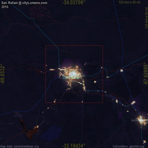
Analysis of San Rafael night lights 2016
Square area 10x10 km:
 13.64%
90-99
14.51%80-89
12.24%70-79
13.11%60-69
23.25%50-59
4.02%40-49
6.64%30-39
6.64%20-29
5.59%10-19
0.35%0-9
0%Square area 50x50 km:
0.55%90-99
0.6%80-89
1.33%70-79
1.09%60-69
1.83%50-59
0.91%40-49
0.99%30-39
1.73%20-29
1.96%10-19
4.18%0-9
84.83%Clear (daylight) street map image can be seen on geolist.org.
Map coordinates:
34° 2' 13.4" South, 69° 1' 59.5" West
34° 37' 3.8" South, 68° 19' 48.3" West
35° 11' 39.6" South, 67° 37' 37" West
Some cities around San Rafael sort by population:
• Mendoza
197.4 km =122.7 mi,  346°
346°
• Puente Alto, CL
235 km =146 mi,  298°
298°
• Rancagua, CL
227 km =141.1 mi,  282°
282°
• San Luis
235.5 km =146.3 mi,  51°
51°
• San Martín
171.3 km =106.4 mi,  355°
355°
• Rengo, CL
232.8 km =144.7 mi, 275°
• Machalí, CL
218.2 km =135.6 mi, 282°
• Graneros, CL
228.4 km =141.9 mi,  285°
285°
3836669 (p: 109,163)
Sources (retrieved 2019-11-25):
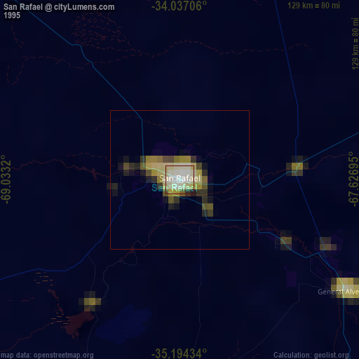
» NASA, Earths city lights 1995
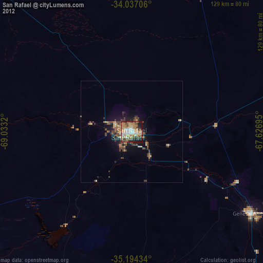
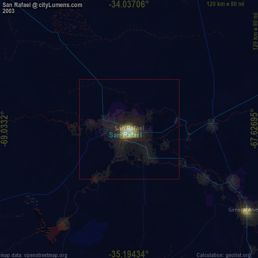
» NASA city lights 2003
» Earth at Night: Flat Maps 2012, 2016