Rancagua night lights from space
Night Light of Rancagua (O'Higgins Region) from space (Chile) Src. Average luminocity for 10x10km area is 71.7949% and for 50x50km: 11.7829%.
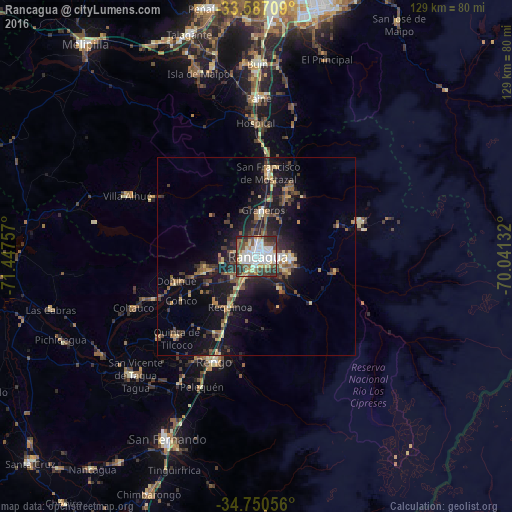

Analysis of Rancagua night lights 2016
Square area 10x10 km:
 21.79%
90-99
19.78%80-89
8.24%70-79
5.86%60-69
4.4%50-59
11.72%40-49
10.44%30-39
9.52%20-29
8.24%10-19
0%0-9
0%Square area 50x50 km:
1.04%90-99
1.19%80-89
1.62%70-79
1.12%60-69
1.39%50-59
2.23%40-49
2.19%30-39
2.62%20-29
3.52%10-19
10.44%0-9
72.66%Clear (daylight) street map image can be seen on geolist.org.
Map coordinates:
33° 35' 13.5" South, 71° 26' 51.3" West
34° 10' 15" South, 70° 44' 40" West
34° 45' 2" South, 70° 2' 28.8" West
Some cities around Rancagua sort by population:
• Buin
48.7 km =30.3 mi,  0°
0°
• Talagante
58.8 km =36.5 mi,  343°
343°
• Rengo
28.2 km =17.5 mi,  201°
201°
• Paine
40.3 km =25 mi, 0°
• San Vicente de Tagua Tagua
42.7 km =26.5 mi,  225°
225°
• Machalí
8.8 km =5.5 mi,  97°
97°
• Graneros
11.5 km =7.1 mi,  7°
7°
• San Vicente
42.7 km =26.5 mi, 226°
3873775 (p: 212,695)
Sources (retrieved 2019-11-25):
» NASA, Earths city lights 1995
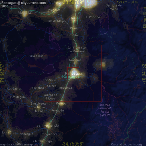
» NASA city lights 2003
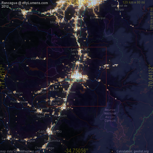
» Earth at Night: Flat Maps 2012, 2016