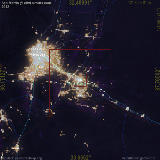
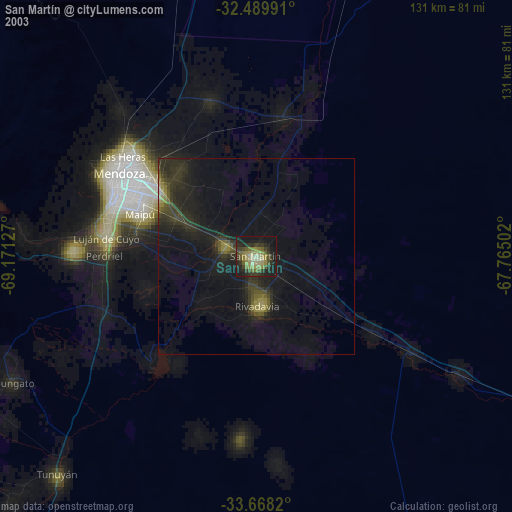
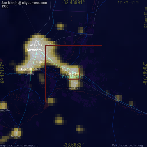
San Martín night lights from space
Night Light of San Martín (Mendoza) from space (Argentina) Src. Average luminocity for 10x10km area is 66.4432% and for 50x50km: 21.9914%.

Analysis of San Martín night lights 2016
Square area 10x10 km:
 9.52%
9.52%90-99
9.71%80-89
11.54%70-79
8.06%60-69
27.11%50-59
10.26%40-49
10.07%30-39
8.79%20-29
4.95%10-19
0%0-9
0%Square area 50x50 km:
1.23%90-99
1.29%80-89
3.81%70-79
3.76%60-69
7.41%50-59
3.1%40-49
3.73%30-39
4.8%20-29
6.12%10-19
9.65%0-9
55.1%Clear (daylight) street map image can be seen on geolist.org.
Map coordinates:
32° 29' 23.7" South, 69° 10' 16.6" West
33° 4' 51.7" South, 68° 28' 5.3" West
33° 40' 5.5" South, 67° 45' 54.1" West
Some cities around San Martín sort by population:
• Mendoza
39.6 km =24.6 mi,  302°
302°
• San Juan
171.7 km =106.7 mi,  357°
357°
• San Rafael
171.3 km =106.4 mi,  175°
175°
• Santa Lucía
171.4 km =106.5 mi, 359°
• Pocito
155.8 km =96.8 mi, 356°
• Caucete
159.9 km =99.4 mi,  6°
6°
• Villa Paula de Sarmiento
176.7 km =109.8 mi, 357°
• Nueve de Julio
157.2 km =97.7 mi,  2°
2°
3836992 (p: 82,549)
Sources (retrieved 2019-11-25):
» NASA, Earths city lights 1995
» NASA city lights 2003
» Earth at Night: Flat Maps 2012, 2016