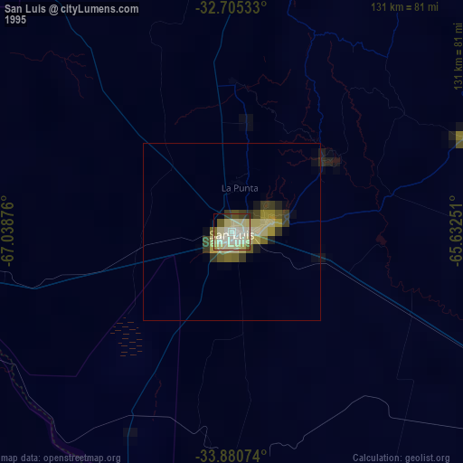
San Luis night lights from space
Night Light of San Luis from space (Argentina) Src. Average luminocity for 10x10km area is 72.7745% and for 50x50km: 10.3311%.
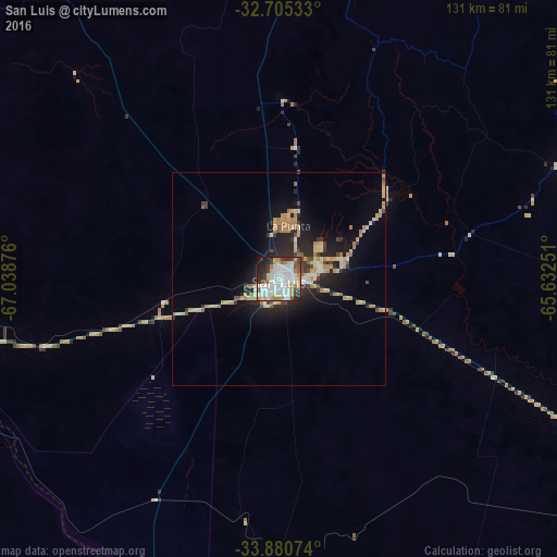

Analysis of San Luis night lights 2016
Square area 10x10 km:
 27.97%
90-99
17.13%80-89
10.14%70-79
7.52%60-69
4.72%50-59
4.02%40-49
7.52%30-39
5.59%20-29
11.54%10-19
3.67%0-9
0.17%Square area 50x50 km:
1.25%90-99
1.03%80-89
2.42%70-79
1.77%60-69
1.32%50-59
0.55%40-49
1.09%30-39
1.39%20-29
3.38%10-19
6.06%0-9
79.75%Clear (daylight) street map image can be seen on geolist.org.
Map coordinates:
32° 42' 19.2" South, 67° 2' 19.5" West
33° 17' 42" South, 66° 20' 8.3" West
33° 52' 50.7" South, 65° 37' 57" West
Some cities around San Luis sort by population:
• Villa Mercedes
91.8 km =57 mi,  117°
117°
• La Punta
12.6 km =7.8 mi,  9°
9°
• Merlo
162.7 km =101.1 mi,  49°
49°
• Justo Daract
123.9 km =77 mi, 120°
• Coronel Moldes
165.3 km =102.7 mi,  102°
102°
• Sampacho
150.2 km =93.3 mi,  93°
93°
• La Toma
71.5 km =44.4 mi,  67°
67°
• Tilisarao
115.7 km =71.9 mi,  57°
57°
3837056 (p: 183,982)
Sources (retrieved 2019-11-25):
» NASA, Earths city lights 1995
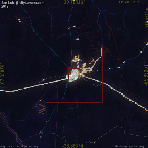
» NASA city lights 2003
» Earth at Night: Flat Maps 2012, 2016