Puente Alto night lights from space
Night Light of Puente Alto (Santiago Metropolitan) from space (Chile) Src. Average luminocity for 10x10km area is 81.0733% and for 50x50km: 37.4367%.
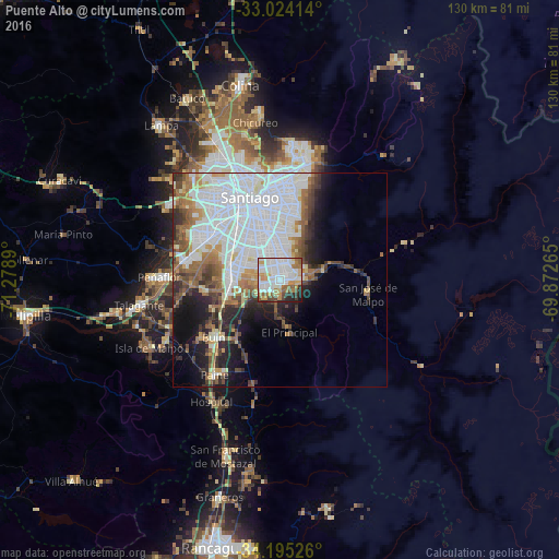
Analysis of Puente Alto night lights 2016
Square area 10x10 km:
 31.87%
90-99
22.71%80-89
6.41%70-79
10.81%60-69
7.69%50-59
7.51%40-49
4.21%30-39
3.3%20-29
4.4%10-19
1.1%0-9
0%Square area 50x50 km:
15.2%90-99
8.25%80-89
2.42%70-79
2.63%60-69
3.87%50-59
3.96%40-49
3.58%30-39
3.25%20-29
5.07%10-19
7.66%0-9
44.1%Clear (daylight) street map image can be seen on geolist.org.
Map coordinates:
33° 1' 26.9" South, 71° 16' 44" West
33° 36' 42.1" South, 70° 34' 32.8" West
34° 11' 42.9" South, 69° 52' 21.5" West
Some cities around Puente Alto sort by population:
• Santiago
18.5 km =11.5 mi,  338°
338°
• San Bernardo
11.7 km =7.3 mi,  280°
280°
• La Pintana
6.3 km =3.9 mi,  300°
300°
• Lo Prado
23.2 km =14.4 mi,  323°
323°
• Peñaflor
27.9 km =17.3 mi,  271°
271°
• Buin
20.5 km =12.7 mi,  228°
228°
• Paine
26.6 km =16.5 mi,  215°
215°
• Villa Presidente Frei, Ñuñoa, Santiago, Chile
16.8 km =10.4 mi,  358°
358°
3875024 (p: 510,417)
Sources (retrieved 2019-11-25):
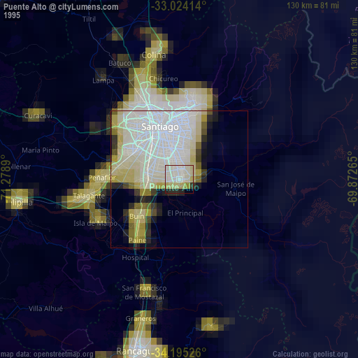
» NASA, Earths city lights 1995
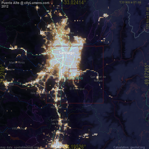
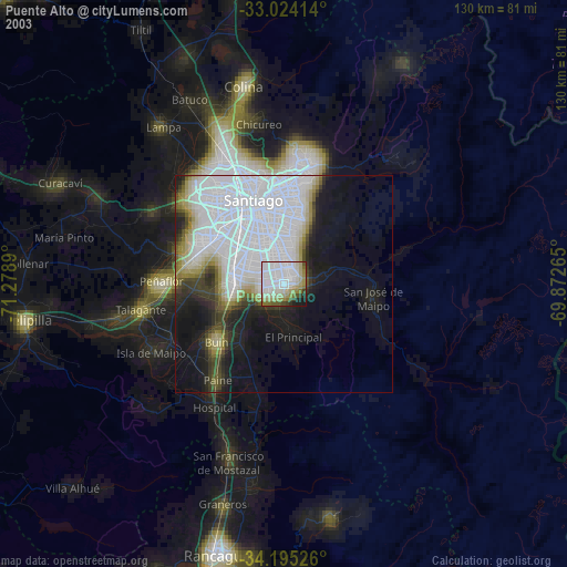
» NASA city lights 2003
» Earth at Night: Flat Maps 2012, 2016