Rengo night lights from space
Night Light of Rengo (O'Higgins Region) from space (Chile) Src. Average luminocity for 10x10km area is 24.8042% and for 50x50km: 9.2753%.
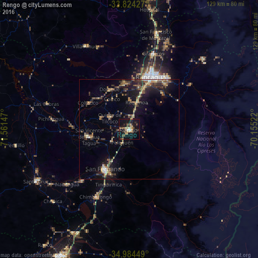
Analysis of Rengo night lights 2016
Square area 10x10 km:
 0.87%
0.87%90-99
1.4%80-89
5.07%70-79
2.97%60-69
4.55%50-59
3.15%40-49
5.07%30-39
2.1%20-29
6.82%10-19
40.03%0-9
27.97%Square area 50x50 km:
0.52%90-99
0.53%80-89
1.35%70-79
0.98%60-69
1.4%50-59
1.91%40-49
1.8%30-39
2.04%20-29
2.44%10-19
7.77%0-9
79.26%Clear (daylight) street map image can be seen on geolist.org.
Map coordinates:
33° 49' 27.4" South, 71° 33' 41.3" West
34° 24' 23" South, 70° 51' 30" West
34° 59' 4.2" South, 70° 9' 18.8" West
Some cities around Rengo sort by population:
• Rancagua
28.2 km =17.5 mi,  21°
21°
• Santa Cruz
53.2 km =33.1 mi,  240°
240°
• San Vicente de Tagua Tagua
20.4 km =12.7 mi,  259°
259°
• Machalí
31.6 km =19.6 mi,  37°
37°
• Graneros
39.4 km =24.5 mi, 17°
• San Vicente
20.9 km =13 mi, 261°
• Chimbarongo
38 km =23.6 mi,  206°
206°
• Teno
58.6 km =36.4 mi, 208°
3873441 (p: 38,100)
Sources (retrieved 2019-11-25):
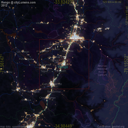
» Earth at Night: Flat Maps 2012, 2016