Graneros night lights from space
Night Light of Graneros (O'Higgins Region) from space (Chile) Src. Average luminocity for 10x10km area is 26.0822% and for 50x50km: 11.4421%.
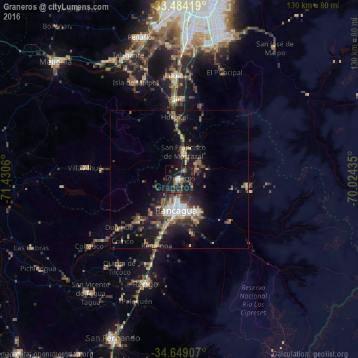
Analysis of Graneros night lights 2016
Square area 10x10 km:
 0.35%
0.35%90-99
2.62%80-89
2.45%70-79
0.35%60-69
4.2%50-59
5.77%40-49
5.94%30-39
6.12%20-29
12.94%10-19
45.63%0-9
13.64%Square area 50x50 km:
1.03%90-99
1.17%80-89
1.61%70-79
1.08%60-69
1.46%50-59
2.3%40-49
2.04%30-39
2.61%20-29
3.19%10-19
9.48%0-9
74.04%Clear (daylight) street map image can be seen on geolist.org.
Map coordinates:
33° 29' 3.1" South, 71° 25' 50.2" West
34° 4' 7.1" South, 70° 43' 38.9" West
34° 38' 56.7" South, 70° 1' 27.7" West
Some cities around Graneros sort by population:
• Rancagua
11.5 km =7.1 mi,  187°
187°
• Buin
37.4 km =23.2 mi,  357°
357°
• Talagante
48.6 km =30.2 mi,  337°
337°
• Rengo
39.4 km =24.5 mi,  197°
197°
• Paine
29 km =18 mi, 357°
• Machalí
14.4 km =8.9 mi,  150°
150°
• El Monte
49.3 km =30.6 mi,  331°
331°
• San Vicente
52.1 km =32.4 mi,  218°
218°
3888749 (p: 23,301)
Sources (retrieved 2019-11-25):
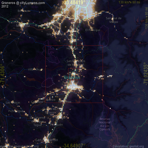
» Earth at Night: Flat Maps 2012, 2016