San José de Feliciano night lights from space
Night Light of San José de Feliciano (Entre Rios) from space (Argentina) Src. Average luminocity for 10x10km area is 10.359% and for 50x50km: 0.4346%.
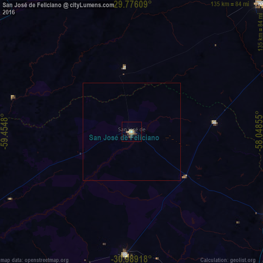
Analysis of San José de Feliciano night lights 2016
Square area 10x10 km:
 0.55%
0.55%90-99
0.92%80-89
2.38%70-79
2.01%60-69
1.28%50-59
1.28%40-49
1.47%30-39
3.3%20-29
0.73%10-19
0%0-9
86.08%Square area 50x50 km:
0.02%90-99
0.04%80-89
0.1%70-79
0.08%60-69
0.05%50-59
0.05%40-49
0.06%30-39
0.13%20-29
0.03%10-19
0%0-9
99.44%Clear (daylight) street map image can be seen on geolist.org.
Map coordinates:
29° 46' 33.9" South, 59° 27' 17.3" West
30° 23' 4.3" South, 58° 45' 6" West
30° 59' 21" South, 58° 2' 54.8" West
Some cities around San José de Feliciano sort by population:
• Curuzú Cuatiá
94 km =58.4 mi,  45°
45°
• Chajarí
84.4 km =52.4 mi,  118°
118°
• Esquina
85.3 km =53 mi,  298°
298°
• La Paz
94.3 km =58.6 mi,  245°
245°
• Monte Caseros
108 km =67.1 mi,  82°
82°
• Federal
63.5 km =39.5 mi,  182°
182°
• Federación
106.8 km =66.4 mi,  130°
130°
• Mocoretá
79.9 km =49.6 mi,  109°
109°
3428858 (p: 11,137)
Sources (retrieved 2019-11-25):
» Earth at Night: Flat Maps 2012, 2016