Curuzú Cuatiá night lights from space
Night Light of Curuzú Cuatiá (Corrientes) from space (Argentina) Src. Average luminocity for 10x10km area is 20.8135% and for 50x50km: 0.9019%.
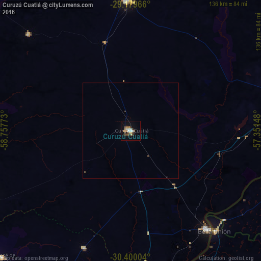
Analysis of Curuzú Cuatiá night lights 2016
Square area 10x10 km:
 3.57%
3.57%90-99
2.78%80-89
1.98%70-79
3.77%60-69
2.38%50-59
1.39%40-49
5.36%30-39
0.99%20-29
0.4%10-19
9.92%0-9
67.46%Square area 50x50 km:
0.14%90-99
0.11%80-89
0.08%70-79
0.14%60-69
0.09%50-59
0.05%40-49
0.23%30-39
0.1%20-29
0.02%10-19
0.41%0-9
98.64%Clear (daylight) street map image can be seen on geolist.org.
Map coordinates:
29° 10' 46.8" South, 58° 45' 27.8" West
29° 47' 30.2" South, 58° 3' 16.6" West
30° 24' 0.1" South, 57° 21' 5.3" West
Some cities around Curuzú Cuatiá sort by population:
• Uruguaiana, BR
93.3 km =58 mi,  87°
87°
• Paso de los Libres
93.8 km =58.3 mi,  84°
84°
• Mercedes
67.6 km =42 mi,  358°
358°
• Monte Caseros
65.3 km =40.6 mi,  141°
141°
• Bella Unión, UY
68 km =42.3 mi, 139°
• San José de Feliciano
94 km =58.4 mi,  225°
225°
• Mocoretá
92.4 km =57.4 mi,  174°
174°
• Perugorría
73.5 km =45.7 mi,  312°
312°
3435103 (p: 36,390)
Sources (retrieved 2019-11-25):
» Earth at Night: Flat Maps 2012, 2016