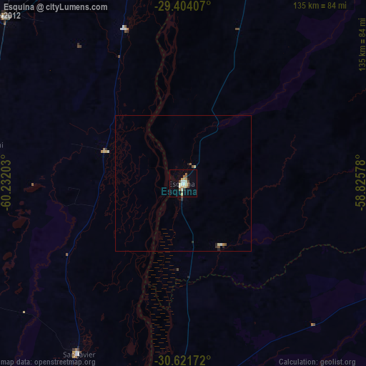
Esquina night lights from space
Night Light of Esquina (Corrientes) from space (Argentina) Src. Average luminocity for 10x10km area is 15.7595% and for 50x50km: 0.8447%.
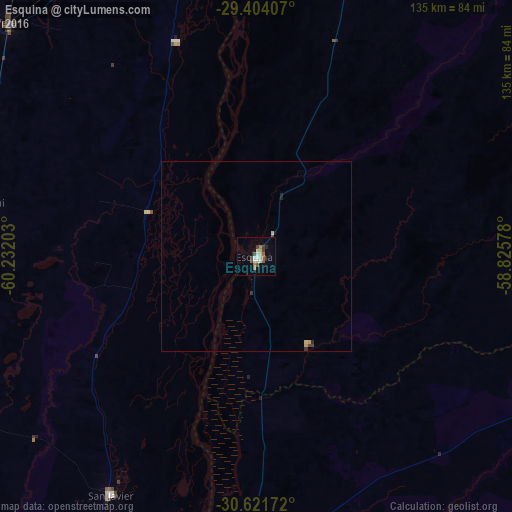
Analysis of Esquina night lights 2016
Square area 10x10 km:
 0.95%
0.95%90-99
2.84%80-89
3.79%70-79
0%60-69
2.65%50-59
2.65%40-49
1.14%30-39
3.79%20-29
0.76%10-19
3.03%0-9
78.41%Square area 50x50 km:
0.04%90-99
0.11%80-89
0.22%70-79
0.04%60-69
0.1%50-59
0.1%40-49
0.1%30-39
0.19%20-29
0.13%10-19
0.14%0-9
98.8%Clear (daylight) street map image can be seen on geolist.org.
Map coordinates:
29° 24' 14.7" South, 60° 13' 55.3" West
30° 0' 53.1" South, 59° 31' 44" West
30° 37' 18.2" South, 58° 49' 32.8" West
Some cities around Esquina sort by population:
• Reconquista
96.9 km =60.2 mi,  353°
353°
• La Paz
81.6 km =50.7 mi,  187°
187°
• Avellaneda
100.5 km =62.4 mi, 352°
• Vera
90.4 km =56.2 mi,  313°
313°
• San Javier
73.6 km =45.7 mi,  211°
211°
• San José de Feliciano
85.3 km =53 mi,  118°
118°
• Calchaquí
74.4 km =46.2 mi,  280°
280°
• Malabrigo
85.6 km =53.2 mi,  330°
330°
3434095 (p: 26,399)
Sources (retrieved 2019-11-25):
» Earth at Night: Flat Maps 2012, 2016