Chajarí night lights from space
Night Light of Chajarí (Entre Rios) from space (Argentina) Src. Average luminocity for 10x10km area is 33.1049% and for 50x50km: 2.5442%.
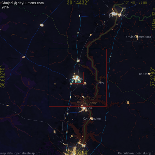
Analysis of Chajarí night lights 2016
Square area 10x10 km:
 5.24%
5.24%90-99
4.72%80-89
3.32%70-79
6.82%60-69
6.82%50-59
0.35%40-49
4.9%30-39
3.32%20-29
4.72%10-19
37.24%0-9
22.55%Square area 50x50 km:
0.27%90-99
0.25%80-89
0.37%70-79
0.4%60-69
0.51%50-59
0.07%40-49
0.31%30-39
0.33%20-29
0.35%10-19
2.23%0-9
94.91%Clear (daylight) street map image can be seen on geolist.org.
Map coordinates:
30° 8' 39.6" South, 58° 40' 57.9" West
30° 45' 1.7" South, 57° 58' 46.6" West
31° 21' 10.2" South, 57° 16' 35.4" West
Some cities around Chajarí sort by population:
• Concordia
71.5 km =44.4 mi,  183°
183°
• Salto, UY
70.4 km =43.7 mi, 178°
• Monte Caseros
64.3 km =40 mi,  30°
30°
• Federal
80 km =49.7 mi,  253°
253°
• Federación
29.4 km =18.3 mi,  164°
164°
• Bella Unión, UY
65.6 km =40.8 mi, 33°
• San José de Feliciano
84.4 km =52.4 mi,  298°
298°
• Mocoretá
14.7 km =9.1 mi,  6°
6°
3435486 (p: 30,655)
Sources (retrieved 2019-11-25):
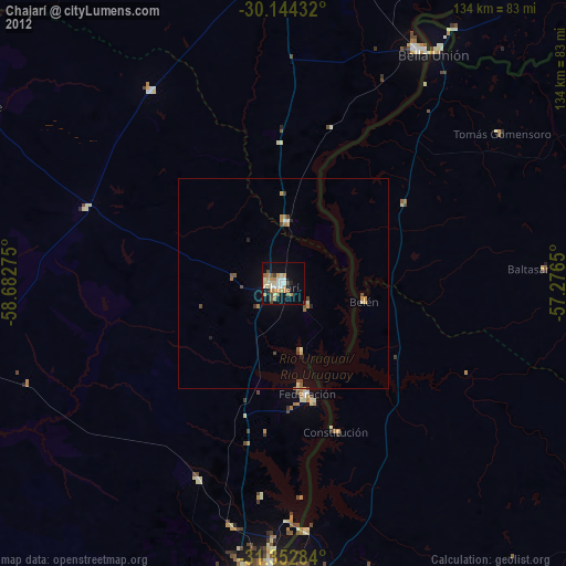
» Earth at Night: Flat Maps 2012, 2016