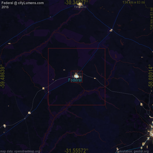
Federal night lights from space
Night Light of Federal (Entre Rios) from space (Argentina) Src. Average luminocity for 10x10km area is 13.9487% and for 50x50km: 0.6845%.
Analysis of Federal night lights 2016
Square area 10x10 km:
 2.38%
2.38%90-99
2.75%80-89
2.75%70-79
0.92%60-69
0%50-59
1.1%40-49
2.56%30-39
2.2%20-29
0%10-19
0.92%0-9
84.43%Square area 50x50 km:
0.1%90-99
0.11%80-89
0.11%70-79
0.07%60-69
0%50-59
0.04%40-49
0.14%30-39
0.19%20-29
0.02%10-19
0.06%0-9
99.16%Clear (daylight) street map image can be seen on geolist.org.
Map coordinates:
30° 20' 59.2" South, 59° 29' 11" West
30° 57' 16.7" South, 58° 46' 59.7" West
31° 33' 20.6" South, 58° 4' 48.5" West
Some cities around Federal sort by population:
• Concordia
87.4 km =54.3 mi,  123°
123°
• Salto, UY
91.1 km =56.6 mi, 121°
• Chajarí
80 km =49.7 mi,  73°
73°
• La Paz
85.6 km =53.2 mi,  286°
286°
• San Salvador
79.1 km =49.2 mi,  160°
160°
• San José de Feliciano
63.5 km =39.5 mi,  2°
2°
• Bovril
76.4 km =47.5 mi,  235°
235°
• Mocoretá
86.8 km =53.9 mi,  64°
64°
3433956 (p: 16,333)
Sources (retrieved 2019-11-25):
» Earth at Night: Flat Maps 2012, 2016